Category Archives: 3. COUNTRIES

Saudi Arabia: A Land of Stunning Arches

By Ray Millar

From SPAN, Fall 2022

Saudi Arabia: A Land of Arches; so said the article on the internet and while it is no Chad in the number and extent of natural arches, those that are found in Saudi Arabia are large and truly spectacular. For a long time Saudi Arabia was a closed country for normal visitors, but things are beginning to change. Before 2019 visas to travel to the country were only issued for business travelers or to visit religious sites and just as the country opened up, the Covid pandemic arrived and restrictions were reimposed.

It was a photograph of an arch, behind a peloton of cyclists, sent to me in an email from NABS stalwart David Kennedy, that gave me the impetus to make initial enquiries on the practicalities of visiting Saudi Arabia. Initially, it was thought that the arch was in the UAE but I quickly found that the photo was taken during the Saudi Tour. Subsequently, I found another four arches in the vicinity, any one of which would be worth the trip.

These arches are located in the vicinity of the town of Al Ula, about 650 miles northwest of the capital Riyadh. Some of the arches are remote, but they can be easily reached by car providing you are familiar with the area, although it is best to walk the last few hundred yards or so to avoid deep sand.

Al Ula has recently opened a new airport which makes getting there much easier as it is only a 2.5-hour flight form Riyadh. There are two main roads: Highway 375 that runs north from the airport to Al Ula, some 20 miles away, and then on to Winter Park and Highway 70 that runs east/west from Winter Park.

Three of the arches are located along Highway 70 about five miles east of Winter Park. Imposing Jabal Alfil, also know as Elephant Rock, is the most famous of all of the arches. There is a large sign on the highway pointing to the road to the arch. The road is unpaved but is compacted sand that can easily be driven with care by car. It leads to a parking area a short distance from the large arch. The area is usually open 24 hours but as I was there at the start of the Eid celebrations it didn’t open until 4 p.m. The arch has a span of 31 feet and a height of 104 feet.
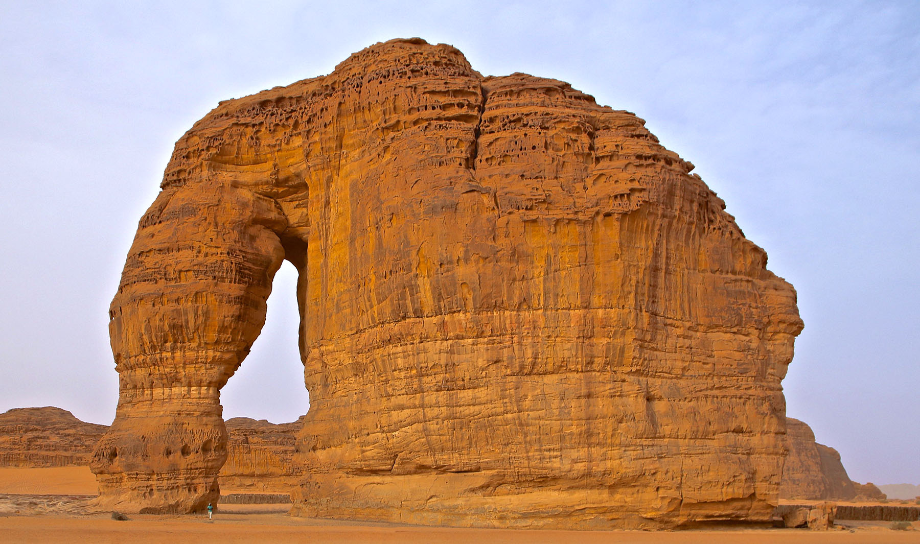
Jabal Alfil (Elephant Rock), 37R-398665-2952441.

Shortly before the sign for the Elephant, sublime Vessel Rock can be seen to the north. It is possible to drive toward the arch and park on the left just before a small mound of sand. Hike over the mound to the arch. A 4WD vehicle would make short work of the mound. Vessel Rock, so called as it resembles a vase, can also be seen from the road on the way back from Elephant Rock to the main highway. It is then possible to drive to Vessel Rock from there with 4WD. The arch has a span of 35 feet and a height of 75 feet.
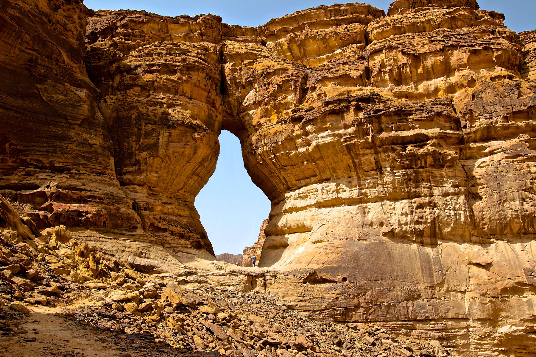
Vessel Rock, 37R-398507-2951579 (Ray Millar stands inside the arch).

The third of the arches, Sparhawk Arch, is about .5 miles further east of Elephant Rock on the north side of the highway. This arch has a span of 30 feet and a height of 30 feet.

Sparhawk Arch, 37R-399674-2952861.

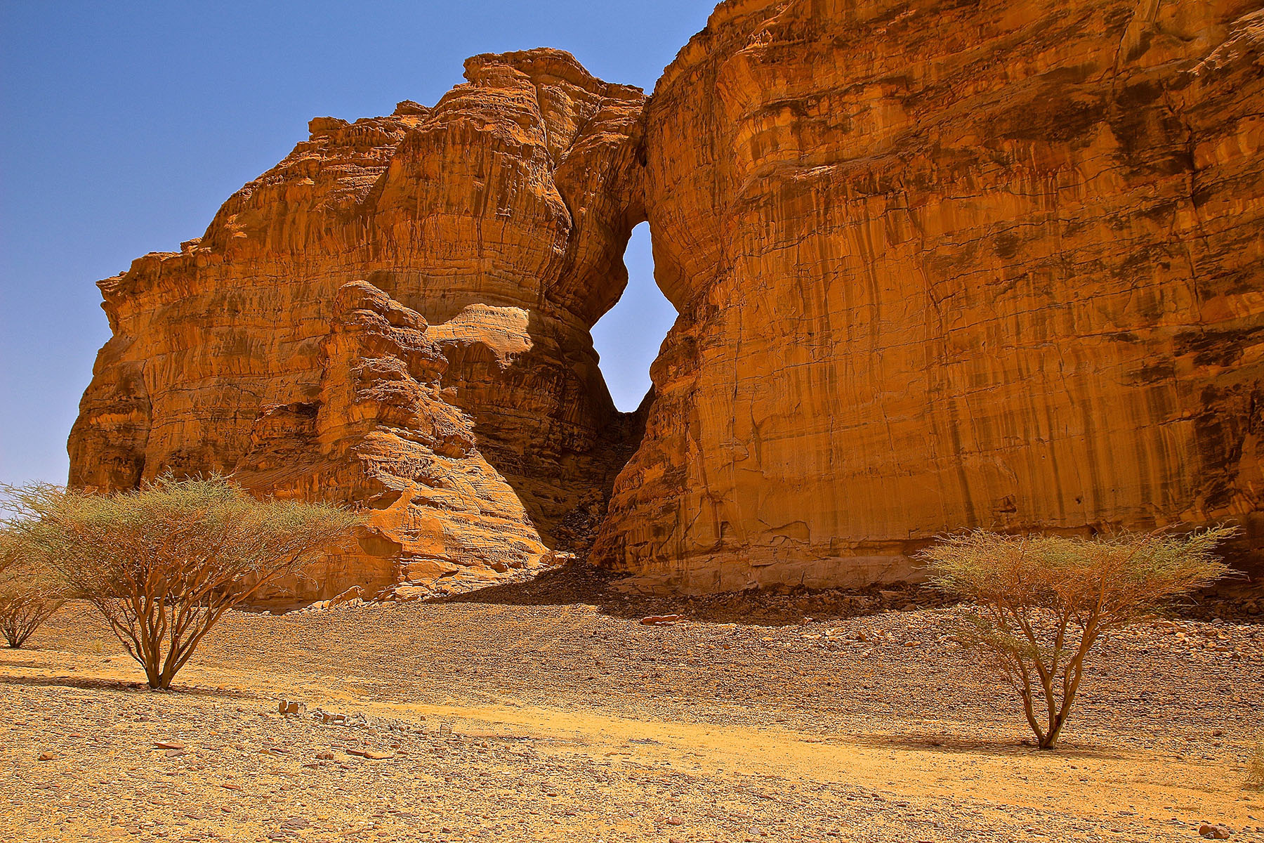
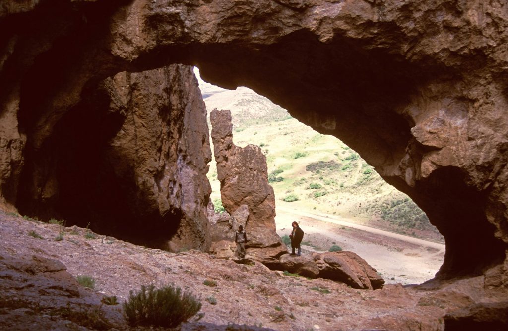
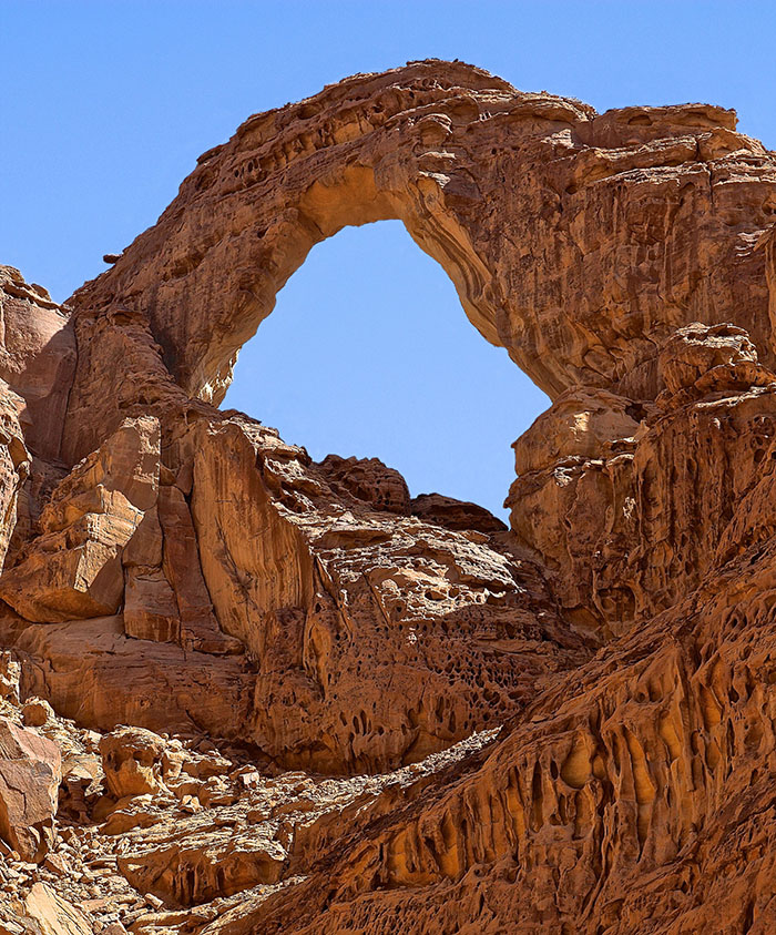
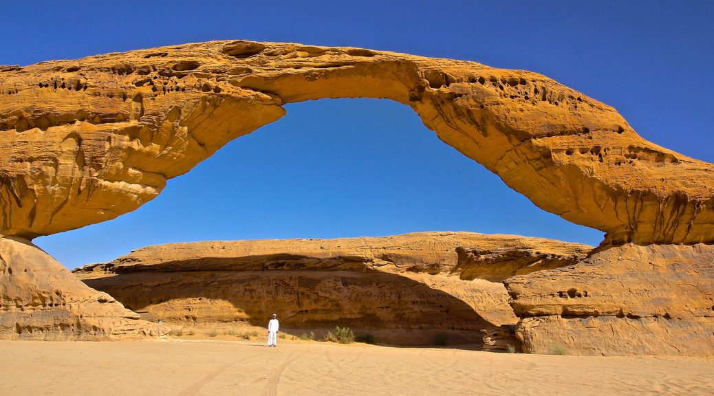
The other two arches are more remote but can also be reached by highway vehicle. Spectacular Rainbow Rock (featured image at top of article) is described as being on Arc Mountain, which led me to believe that the arch would be high up and difficult to get to. In fact, it is at ground level and a small paved road leads directly to it, although 4WD might be required for the last hundred yards or so. This arch has a span of 135 feet and a height of 67 feet.

Rainbow Rock, 37R-377620-2992528.

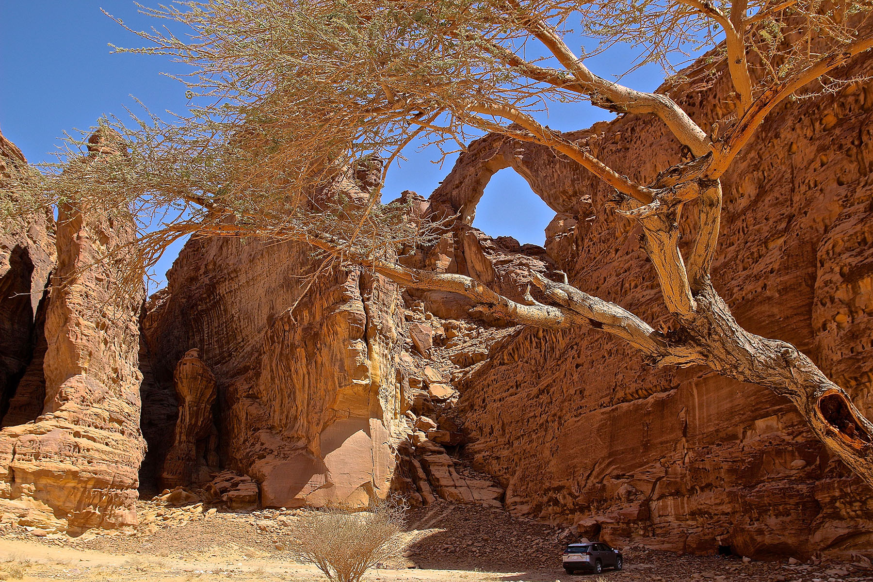
Incredible Raven Rock, my original reason for going to Saudi Arabia, is more remote to the east but is alongside the highway. This is a truly incredible double arch which also has a small balanced rock in front of it. The opening in left of photo has a span of 26 feet and a height of 33 feet, and the opening in right of photo has a span of 33 feet and a height of 44 feet.
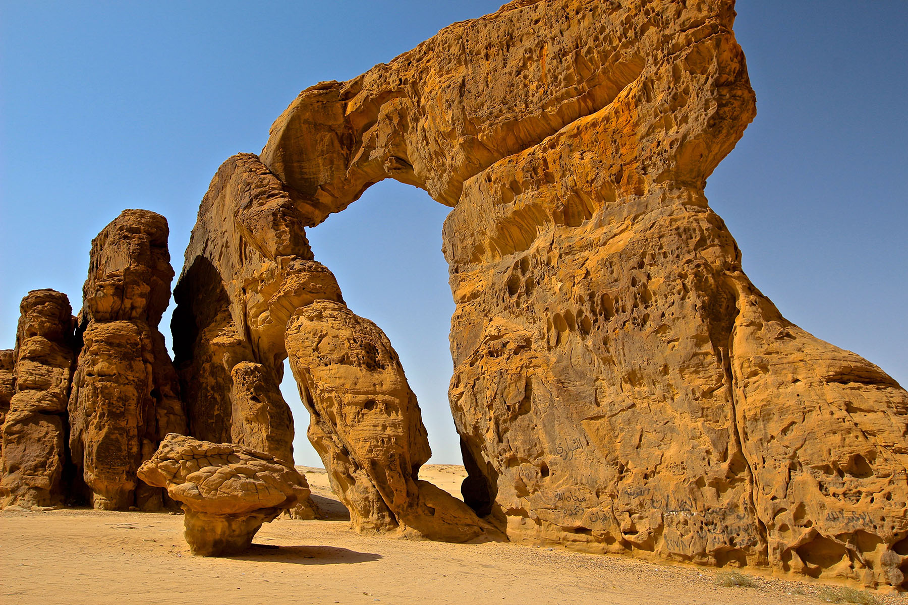
Raven Rock, 37R-438278-2952441.

I was fortunate to stay at The Royal Mawahib Compound where the owner, Abdullah Albalawi, arranged guides for me. He also works at the Film AlUla at the Royal Commission of AlUla so he was able to arrange for me to visit some of the area’s sites such as Hegra, the second city, after Petra, Jordan, of the Nabataean Kingdom. Here there are many rock tombs that were only opened to the public in September 2019. I also got to walk around the Maraya concert hall which is a bit strange but also magnificent.

My only disappointment was that I was not able to visit the large arches at Mahajah as the area was closed for conservation. I never found out whether it was completely closed or whether it might have been possible to photograph them from a distance. I hope to return when it reopens.

Check out Ray’s daily postings on facebook.com/groups/naturalarchesworldwide and see his website at archesuk.com.

1300th Documented Arch in France

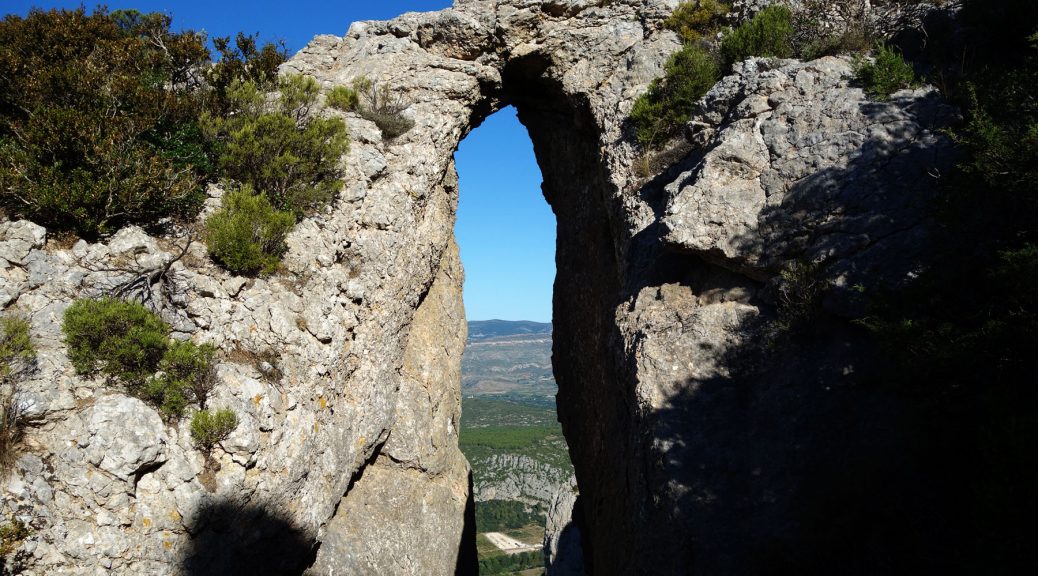
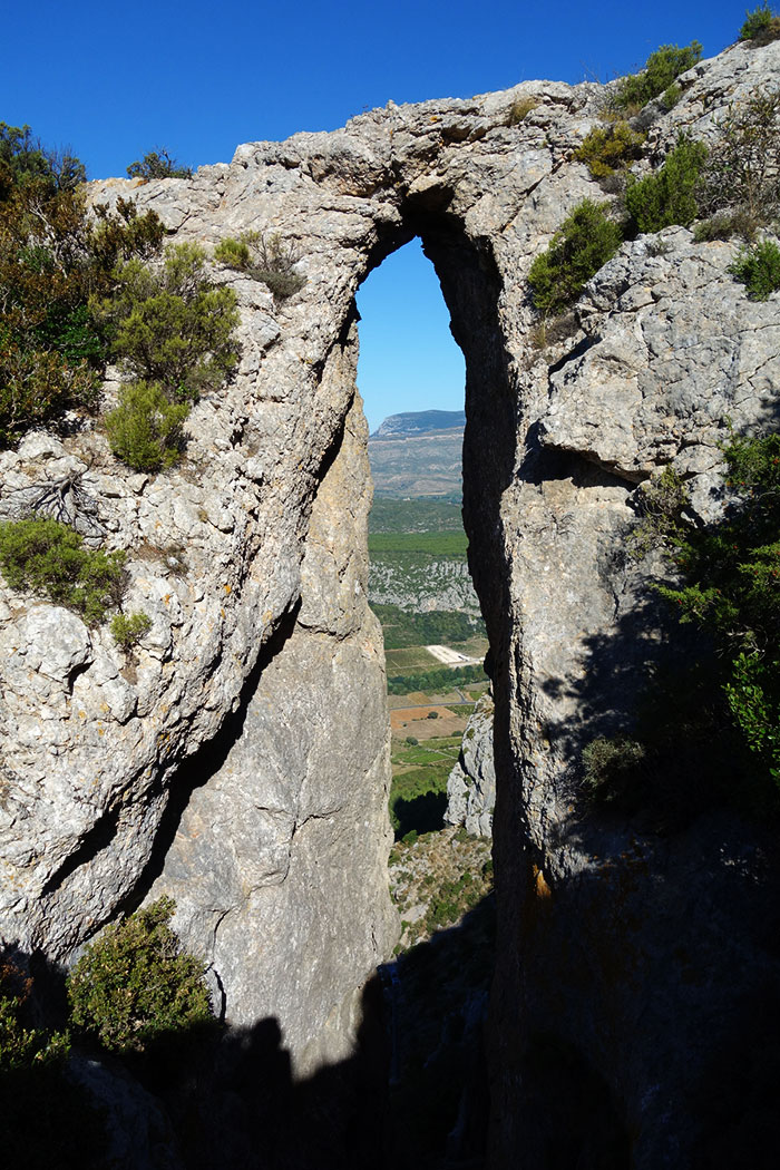
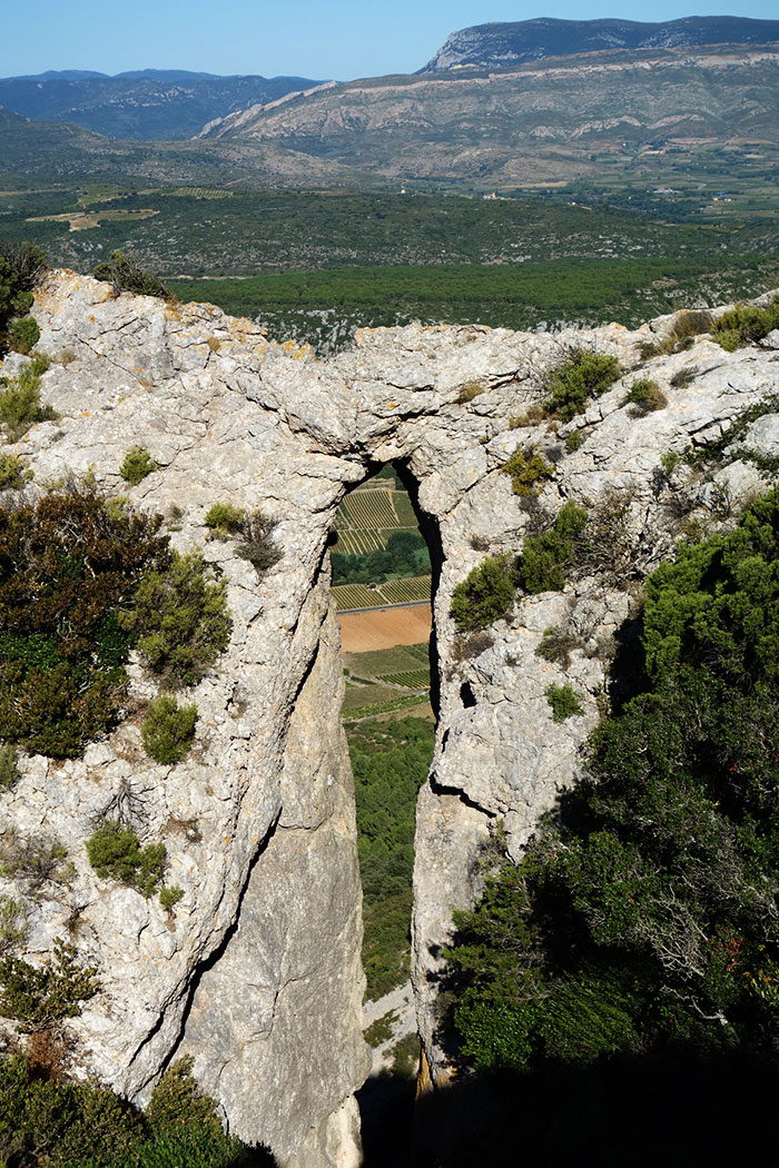
Our intrepid arch hunter Guilain Debossens reports the 1300th arch that he has documented in France, located on the crest of Serrat de la Nereda Mountain near the village of Tautavel in Pyrénées-Orientales department of France. The opening has a measured height of about 30 feet.

Serrat de la Nereda

Two Arches in Argentina

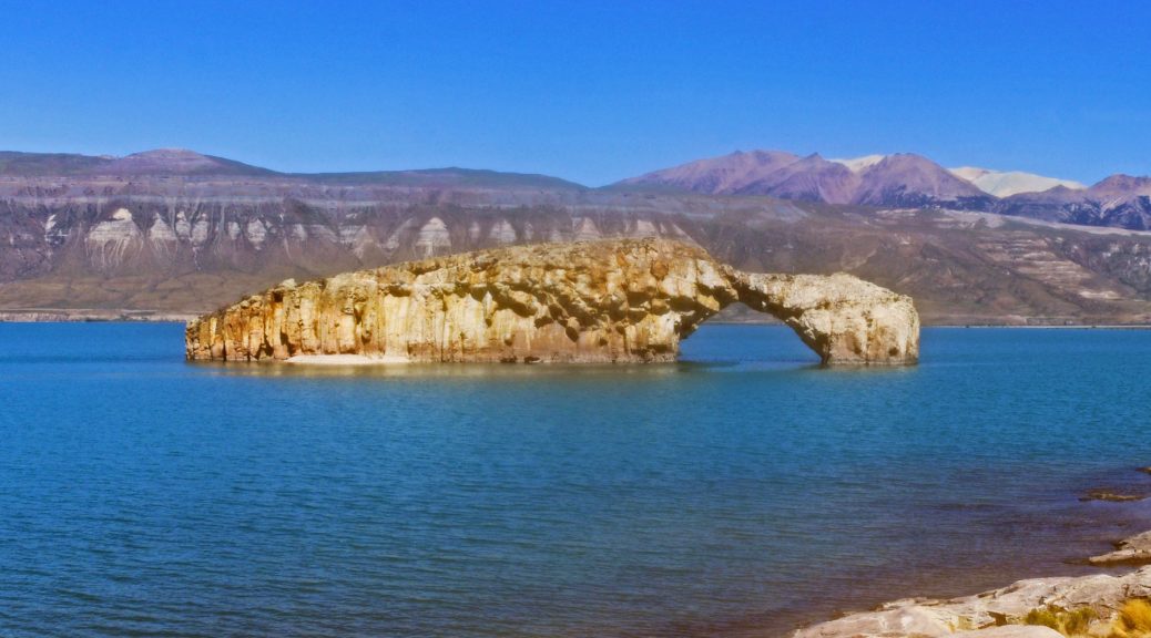
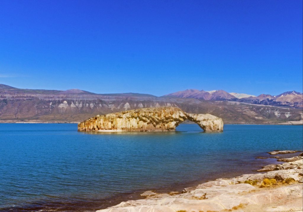
Pablo Sigismondi, a geographer from Córdoba, Argentina, was kind enough to send us photos of two nice arches in his country. One is called El Arco (The Arch) on Lake Posadas in Santa Cruz Province (NABSQNO 19G 288494 4736998).

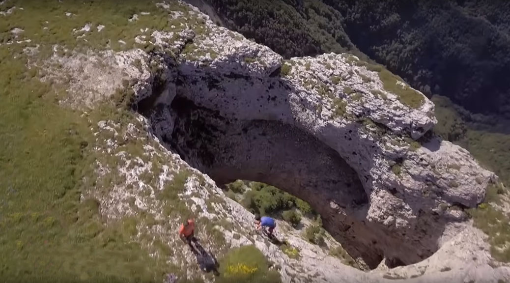
The other is near the small village of Pilolil in Neuquén Province (NABSQNO 19H 333895 5610957).

Pilolil

Natural ice arches evolve much faster than natural rock arches

Natural arches are holes eroded in solid rock, so technically, arches made of ice don’t count. But that does not mean that arches made of ice cannot be beautiful and intriguing objects. One interesting thing about them is that they evolve much faster, although one can imagine natural arches elsewhere in the solar system (such as on outer moons or Kuiper belt objects) made of either water ice or ices of other volatiles that might last many thousands of years.

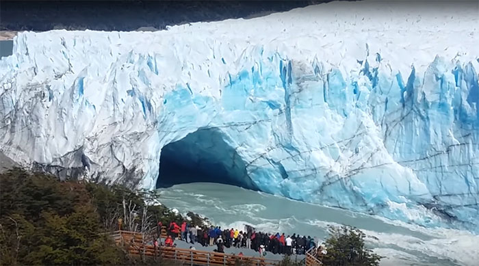
Interestingly, in Argentina there is a natural bridge made of ice that keeps re-forming and collapsing every few years! In Los Glaciares National Park (a UNESCO World Heritage site) the Perito Moreno glacier advances across a narrow neck between two parts of Lake Argentino, forming a dam. The water level rises on one side of the dam, creating pressure, and the water tunnels through the blocked section, creating an arch. Several years after it forms, usually late in the Southern Hemisphere’s summer, the arch breaks apart in a spectacular crash, and the cycle begins again. The phenomenon has nothing to do with global warming.

The most recent collapse occurred at night, when the Park was closed, on March 11, 2018, so the event was not filmed. Likewise a collapse in 2012 occurred at 3:45 a.m. and there are no pictures.

But the collapse of March 11, 2016, occurred at 10:55 a.m. and was recorded by a large number of tourists. The 4-minute video below shows the event (but misses the final collapse, which can be seen in the following 3-minute video).

This photo taken in 2017 shows the ice bridge has re-formed:

Perito-Moreno-ice-bridge-2017

And here is a collapse in 2010 (1-minute):

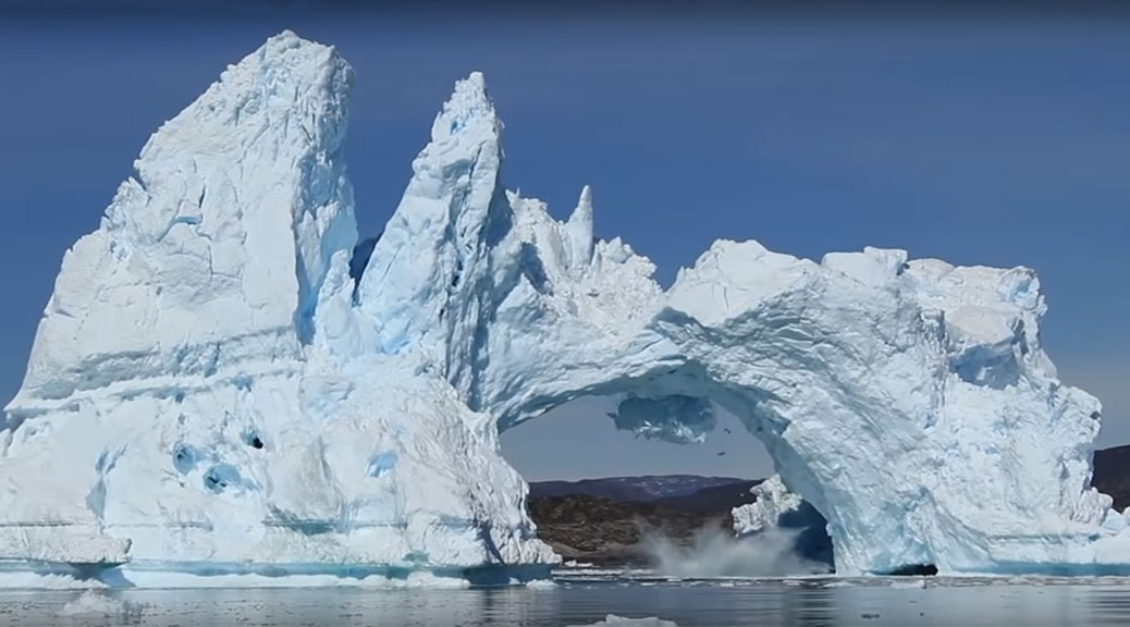
Another beautiful ice arch collapse is seen in this video of an iceberg in Diskobay, Greenland, in 2015 (2-1/2 minute video):

Sudden Birth of a Large Natural Bridge in Ecuador — Possibly the Longest in the World!

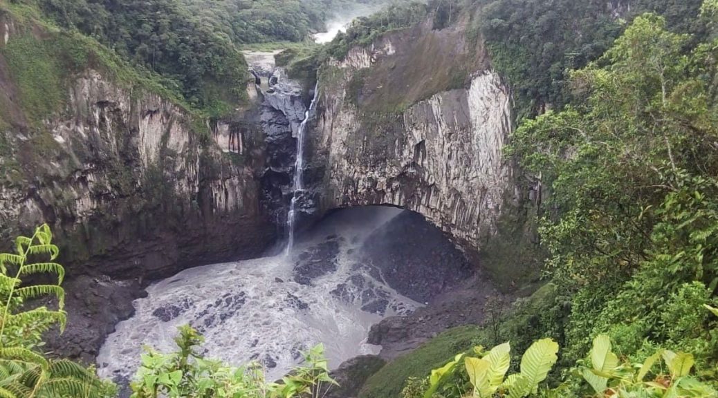
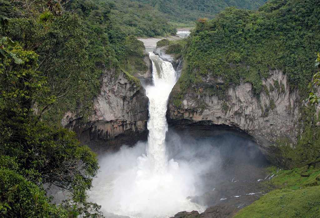
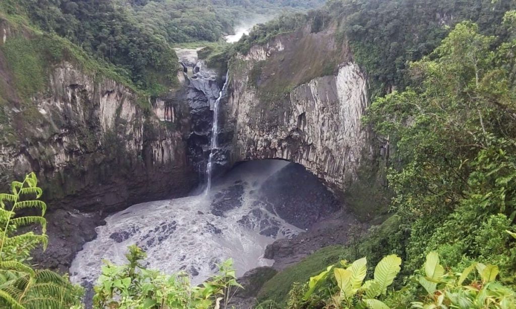
A large waterfall natural bridge was suddenly created on February 2, 2020, by the collapse of a sinkhole behind the San Rafael Waterfall, which had previously been the largest waterfall in Ecuador. The new natural bridge is NABSQNO 18M-212655-9988525.

Our analysis of Google Earth and other images seems to indicate that the resulting natural arch is possibly the longest in the world, perhaps exceeding 400-foot Fairy Bridge in China. It will be interesting also to see if this bridge lasts more than a few years.

[UPDATE: THE BRIDGE COLLAPSED AFTER ONLY ONE YEAR! See comments below.]

The Ecuador Ministry of Environment announced that it is carrying out studies to determine what happened. Some question has been raised if the event was totally of natural origin, perhaps aggravated by being in a volcanic and earthquake activity zone, or if it may have been exacerbated by the construction of a nearby hydroelectric dam which removes sediment from the river, making it more erosive. The International Union for the Conservation of Nature (IUCN) is set to hold an academic debate to find stronger scientific ground to determine what happened.

BEFORE (image credit, NASA):

San Rafael Waterfall Ecuador

AFTER (image credit, Ecuador Ministry of Environment):

San Rafael Natural Bridge Ecuador

The 3-minute video below shows both before and after images. The new natural bridge is visible in the still image below and at 1:37-1:42 and 2:15-2:36. Beginning around 2:26 you can see a significant amount of water flowing out of the left abutment. This does not bode well for the longevity of the arch.

Wat Tham Mongkut, Thailand

By Roderick Wayland Bates
Associate Professor, Nanyang Technological University, Singapore

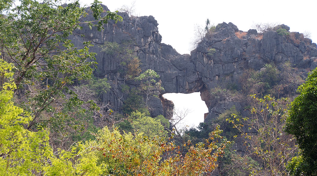
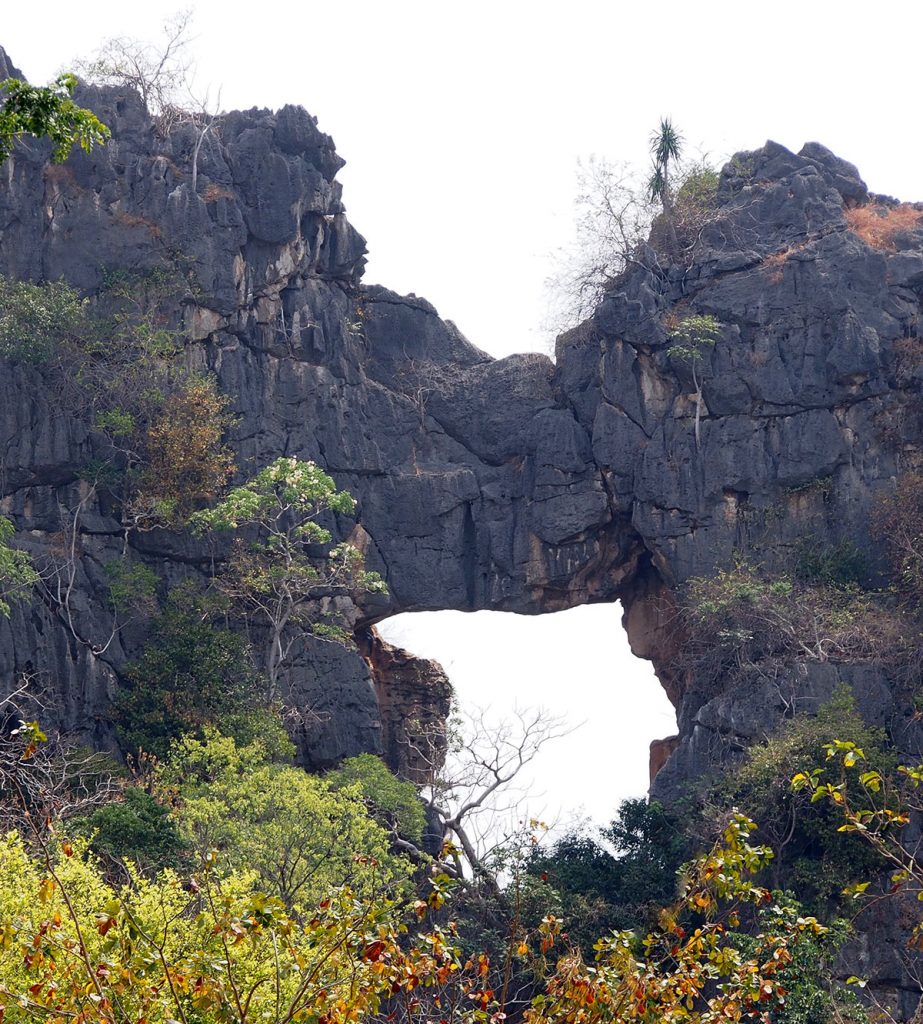
Ratchaburi is a large, mostly agricultural province to the West of Bangkok, Thailand. It is dotted with highly eroded limestone hills, many of which contain caves, and many of which host Buddhist temples. One of these hills is at Wat Tham Mongkut, surrounded by fields of sugar cane. The hill here has a small cave (tham = cave) used as a Buddhist shrine. Up at the top of the hill, overlooking the temple, is a natural arch, clearly visible driving into the grounds, and even visible if you come along the main road from the North. Although there is no easy access to the arch, Martin Ellis of the UK’s Shepton Mallet Caving Club, who maintains a database of caves in Thailand, gives a span of 10 m (32 feet) and a height of 30 m (98 feet), while giving the hill a height of 100 m (320 feet).

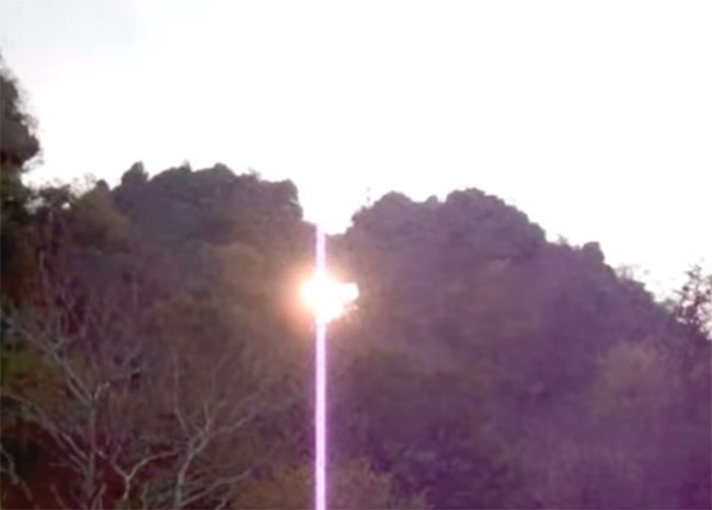
At the right time of year, the rising sun shines directly through the arch. You can see a video of this on YouTube (it is five minutes long and changes very little throughout). A still from the video is below.


Zapato de La Reina, Tenerife

Photos by Mark Berry

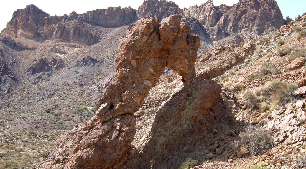
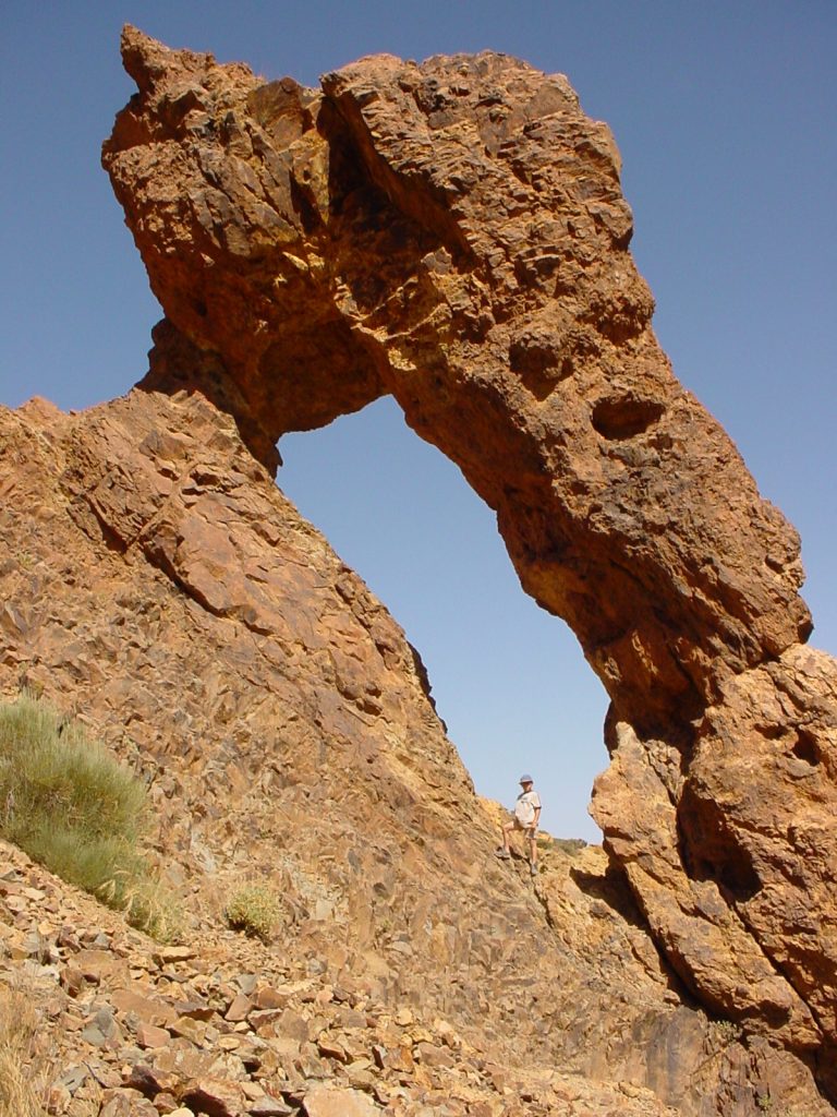
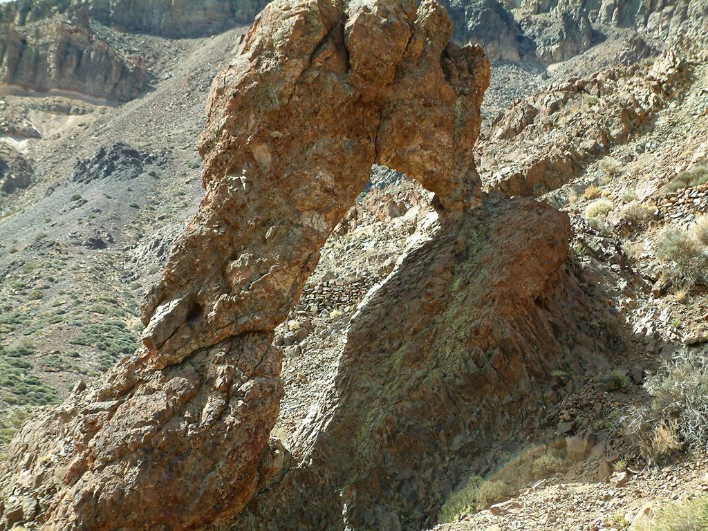
Zapato de La Reina (NABSQNO 28R-337392-3121540) is a natural arch in Teide National Park  on the island of Tenerife, the largest of Spain’s Canary Islands.  It is located  a short walk from a parking area at kilometer 50 of the TF-21 road. It has a span of about 14 feet and a height of about 19 feet.

Teide National Park features the Teide-Pico Viejo stratovolcano that, at 3,718 m, is the highest peak in Spain. Rising 7,500 m above the ocean floor, it is regarded as the world’s third-tallest volcanic structure.

At least two other of the Canary Islands harbor arches as well.  Los Arcos de Graziola is found on the island of Graciosa (photo here).  There are many more, primarily collapsed lava tubes, around the coast of the island of Lanzarote.

Large Remote Natural Arch in Jasper National Park

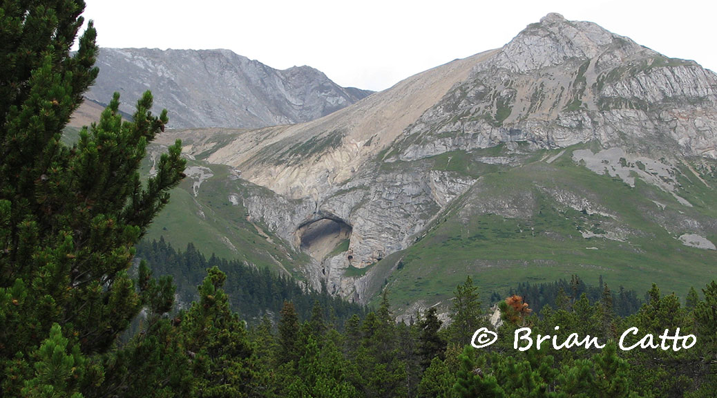
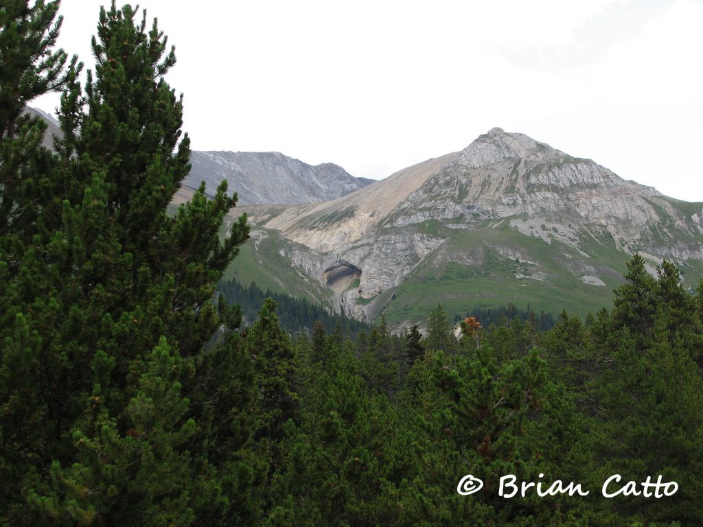
This feature known only as “Natural Arch” is carved out of Palliser limestone on the  southwest slope of Mount Perce in the Canadian Rockies. The arch is located along the upper reaches of Blue Creek in northern Jasper National Park. These photos and most of the information is courtesy of Brian Catto.

The  coordinates are 11U 375960 5922070 (or at least very close) and our best estimate of the span  from analysis of Brian’s photos is 150 plus or minus 15 feet. The photo below is taken near Caribou Inn Hiker Camp, the closest hiker campground to the arch.

Click image for larger version.

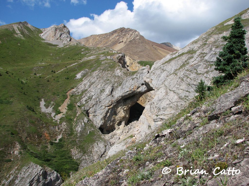
There is a horse camp called Natural Arch right at the base of the slope below the arch, but the arch cannot been seen from the horse camp. Brian climbed up near the arch and a closer photo is below. If you click for the larger version you can see two mountain goats on top of the arch (upper right of the opening).

Click image for larger version.

The shortest route to the arch involves 40 miles of trail one-way from Rock Lake using the Willow Creek, North Boundary, and Blue Creek trails. The trails are open to hikers and horseback riders. Brian hiked in but reported that he thought the horse camps were nicer than the hikers camps. A backcountry camping permit is required from the Jasper National Park trail office.

This area of the park is closed to all human use from November through February as part of Parks Canada’s woodland caribou recovery plan. The trail up Blue Creek receives little to no maintenance and a trail bridge washout requires a stream ford which would be difficult before late in the season (late August and September). Brian describes the trip as requiring a lot of “planning, route finding, and determination.”