By Nick Terzakis
A lot of people usually take the boat tour from Munising to see Pictured Rocks but never take the time to hike the area and hence miss out on some nice sights (including arches). I decided to hike the trail to see Vreeland’s 14-2, 14-3 and 14-4.
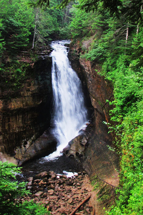
From Munising drive County Road H58 east and turn left onto Miners Castle Road (H11). Along the way you can stop at Miner’s Castle Falls which is a 1.2 miles round trip hike plus 77 steps to the lower viewpoint.
Back on Miners Castle Roadd (H11) driving north, turn right onto Miners Castle Beach just before you reach Miners Castle viewpoint (which is worth a stop), then turn right at a “T” intersection and park at the end of the road.
Walk the Lakeshore North County Trail east as it climbs up the cliffs. On top of the cliffs at over 3 miles is V14-3, Lover’s Leap Arch (NABSQNO 16T-539180-5153408).
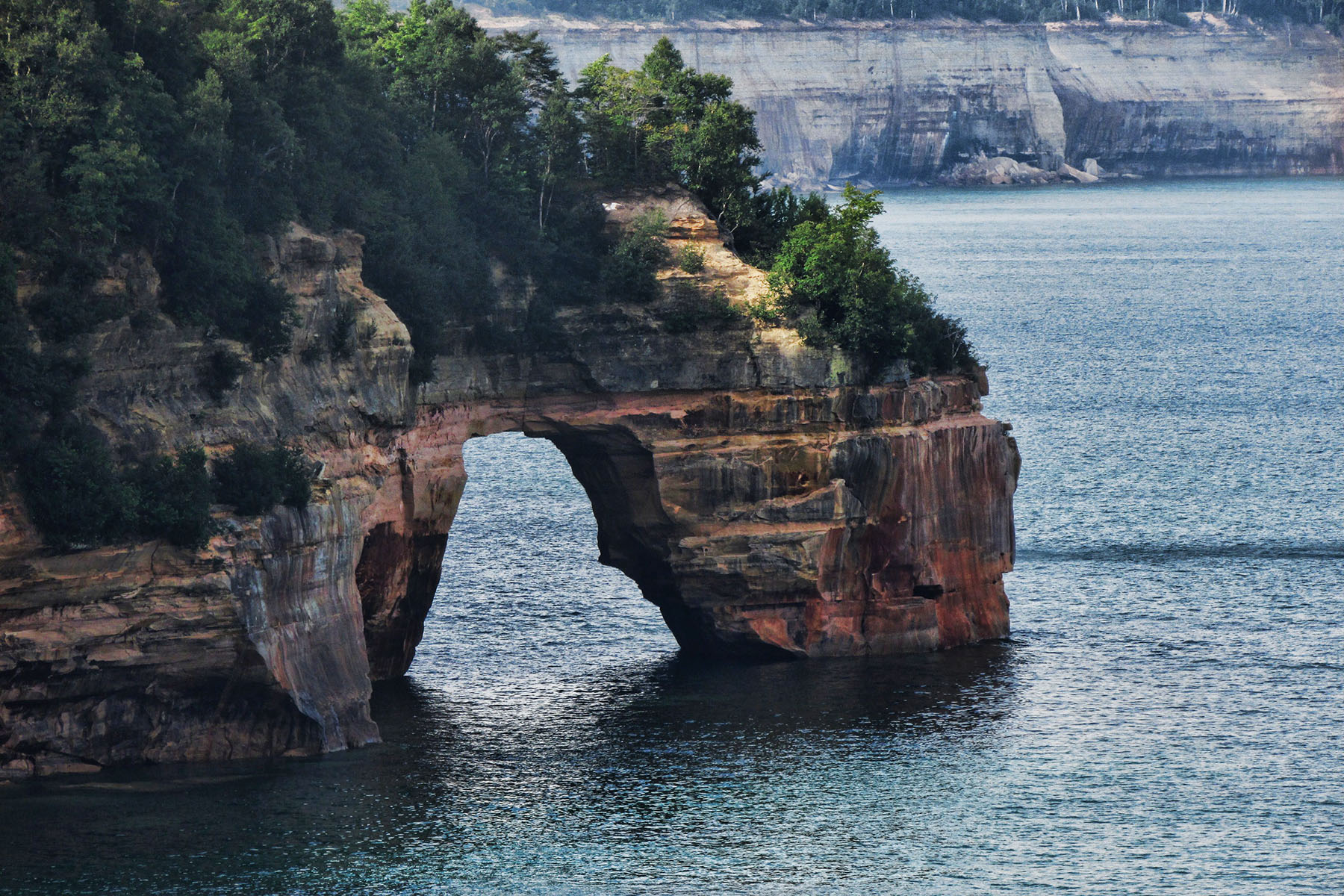
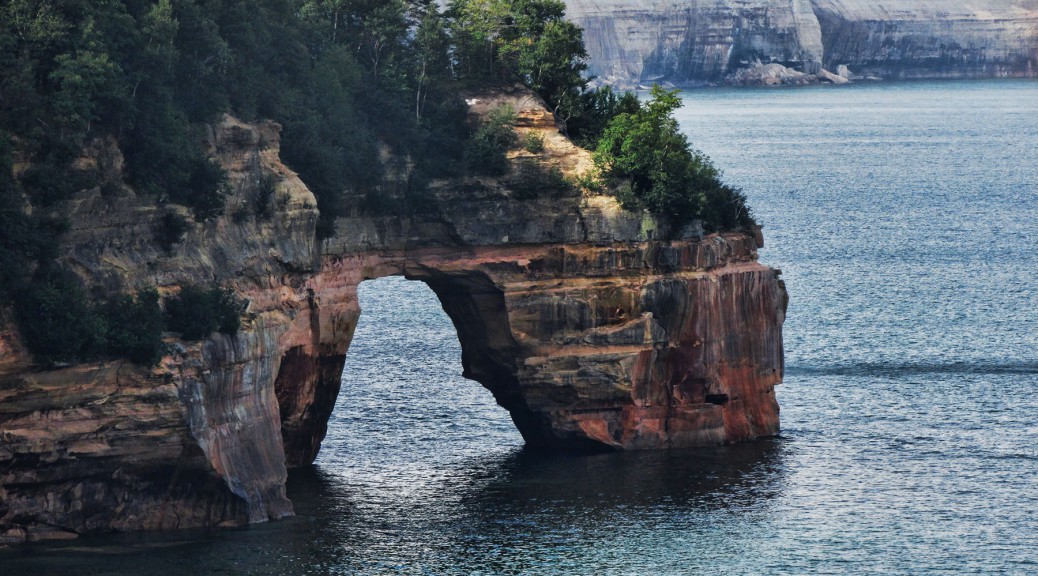
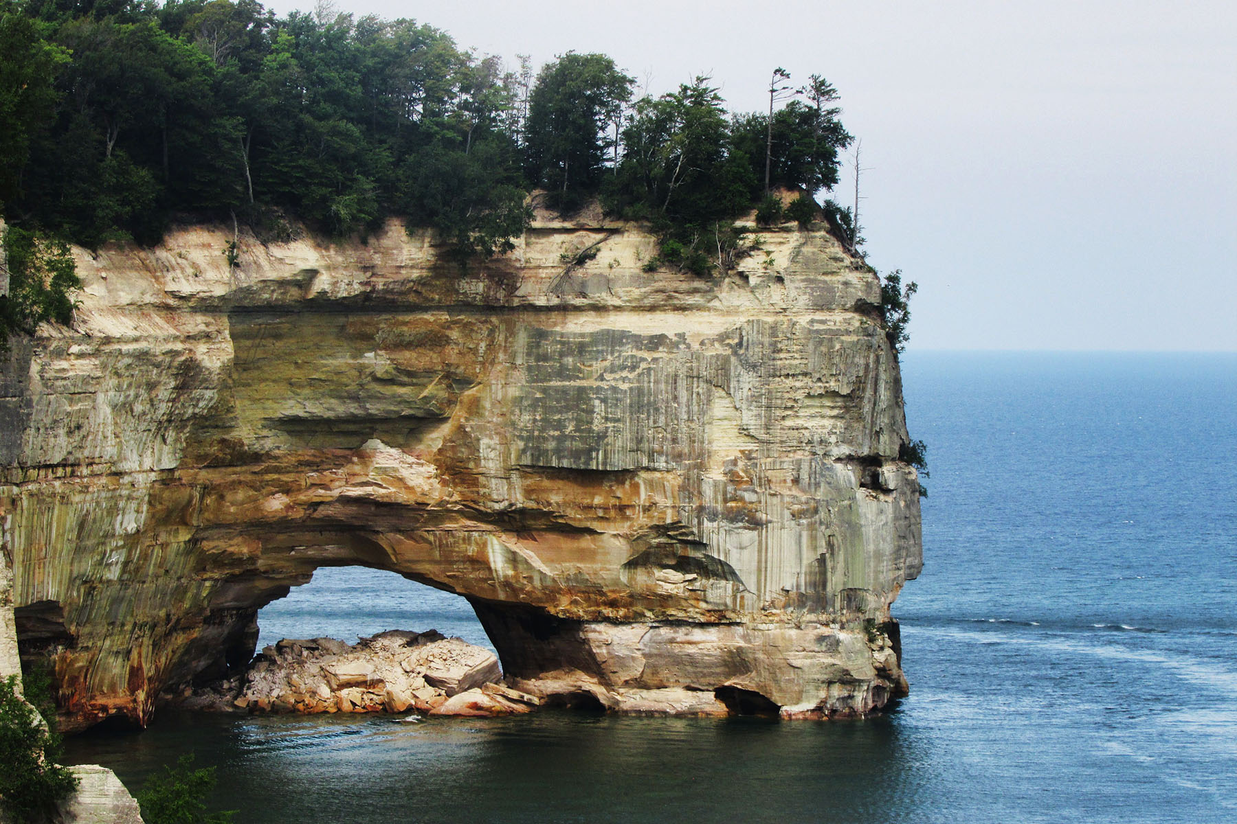
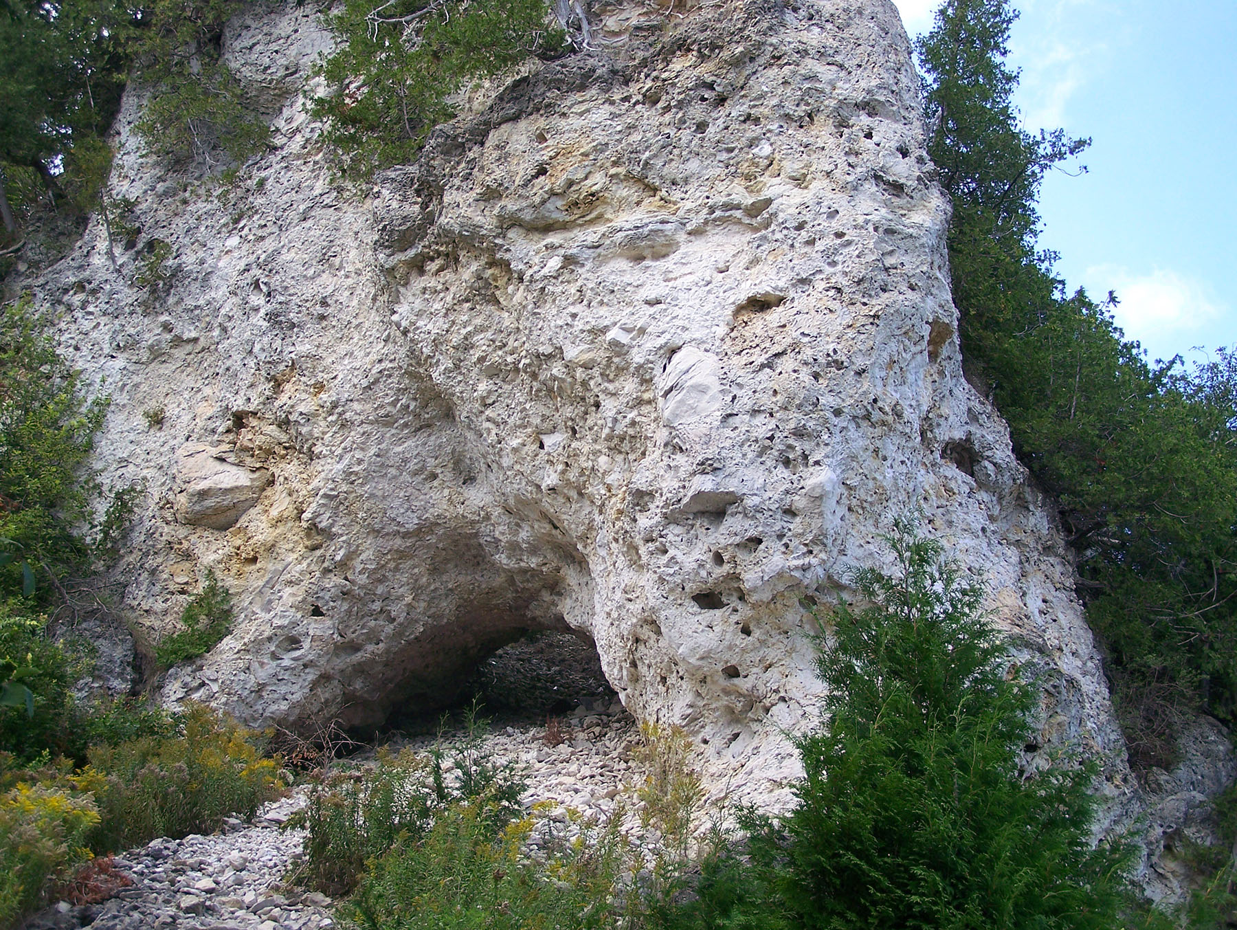
At over 6 miles is V14-4, The Grand Portal (NABSQNO 16T-541282-5155686).
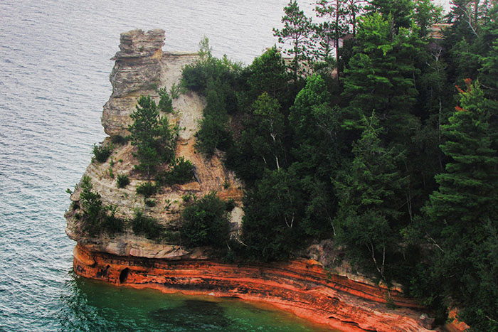
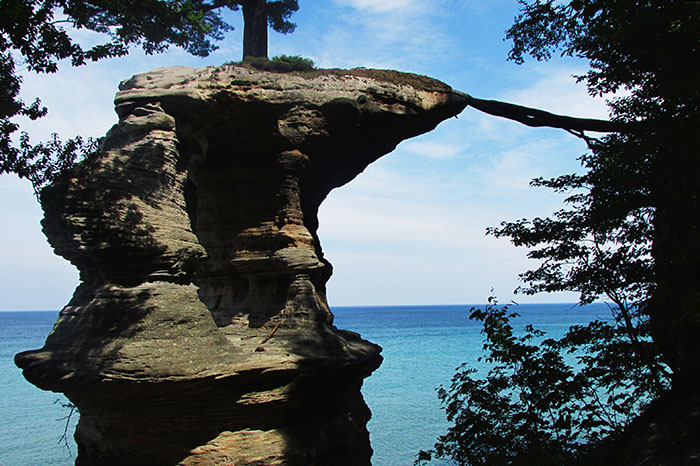
At over 7 miles is V14-2, Chapel Rock (NABSQNO 16T-543097-5155155).
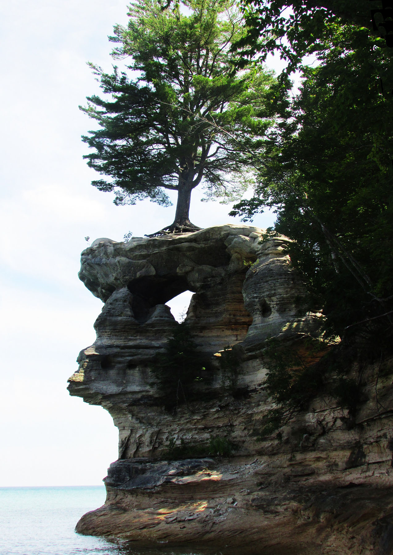
One interesting thing about Chapel Rock is that the tree that grows on top is clinging to dear life by its roots which extend to the cliffs.
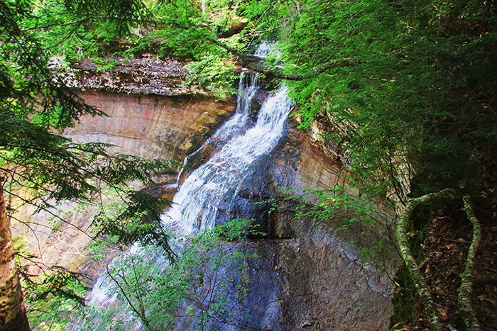
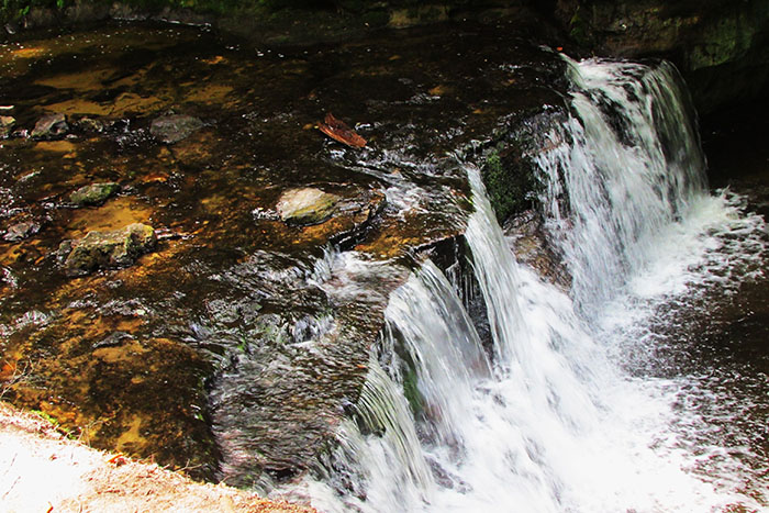
Also worth seeing are Chapel Rock Falls and Mosquito Falls.
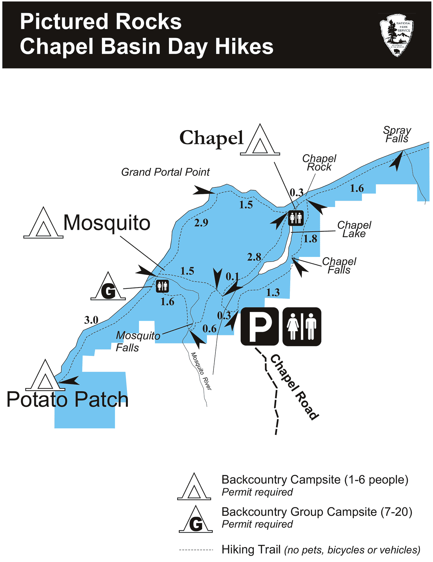
That day I hiked over 16 miles round trip to Chapel Rock. Another way to reach Chapel Rock is to drive County Road H58 east, turn left onto Chapel Rock Road and walk the trail. A map of the trails is below (click for larger version).
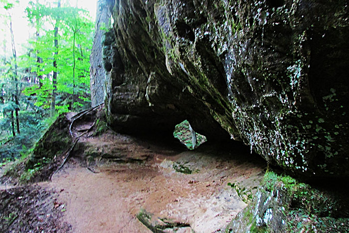
Near Munising is a natural window which measures 3 feet in diameter. From Munising drive County Road H58 east, turn right onto Nestor Street and park near Cleveland Street. Look for the trail to Memorial Falls and go down to the falls. To the north you can see the natural window (NABSQNO 15T-513566-5117066).
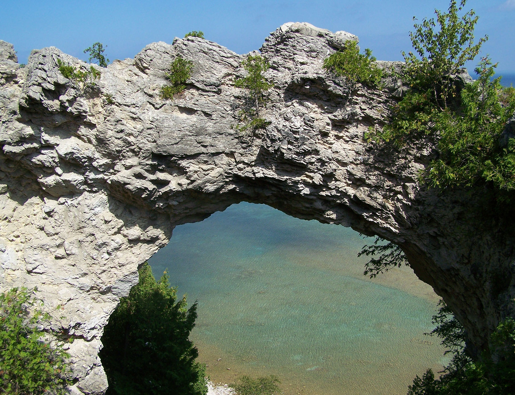
On Mackinaw Island there is V14-1, Arch Rock, and below it to the left is V14-101, Sanilac Arch. The island can be reached by taking the ferry from Mackinaw City or St. Ignace.
Some more information about several of these arches can be found in our GIS section.