Category Archives: Arizona

Vultee Arch Update

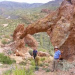
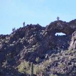
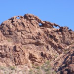
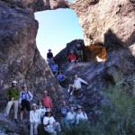
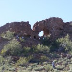
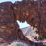
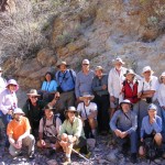
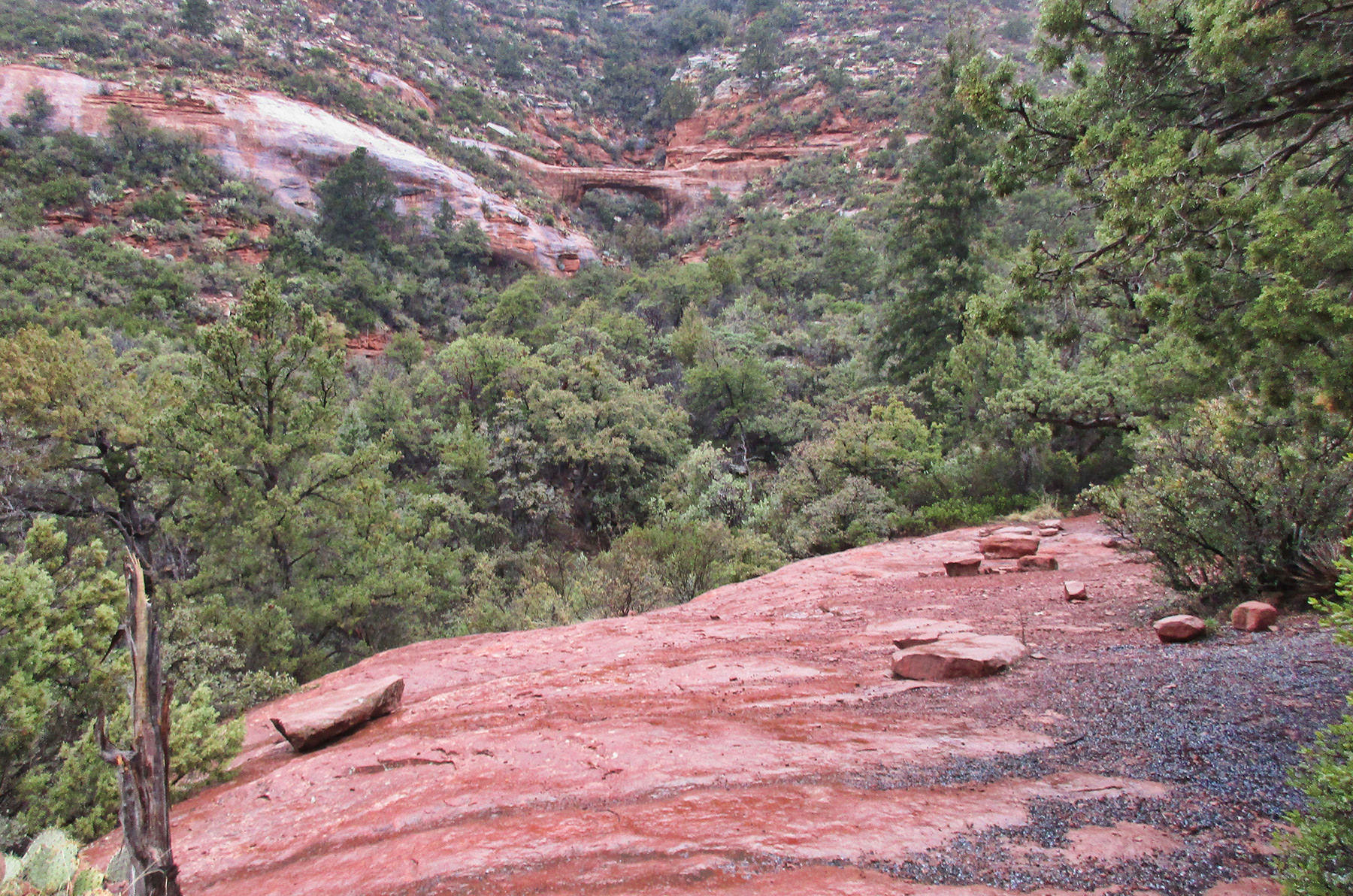
David Kennedy reports that some NABS website information about Vultee Arch near Sedona in Yavapai County, AZ, was out of date [it was updated accordingly today]. The website had reported that the trail went only to a viewpoint (shown below) and that to access the arch itself required significant bushwhacking.

Vultee Arch viewpoint

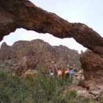
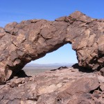
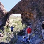
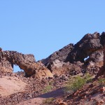
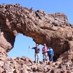
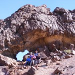
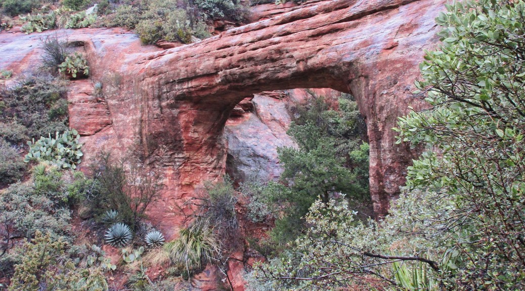
A hike there Feb. 7, 2017, revealed that a trail now goes up to a point next to the lintel of the arch, where the photo below was taken, so there is no longer any bushwhacking involved. From that point one can get onto the lintel and/or go down behind the arch to get beneath it. It is a steep descent to the lintel which Dave declined to take because the rock was wet at the time.

Vultee Arch lintel

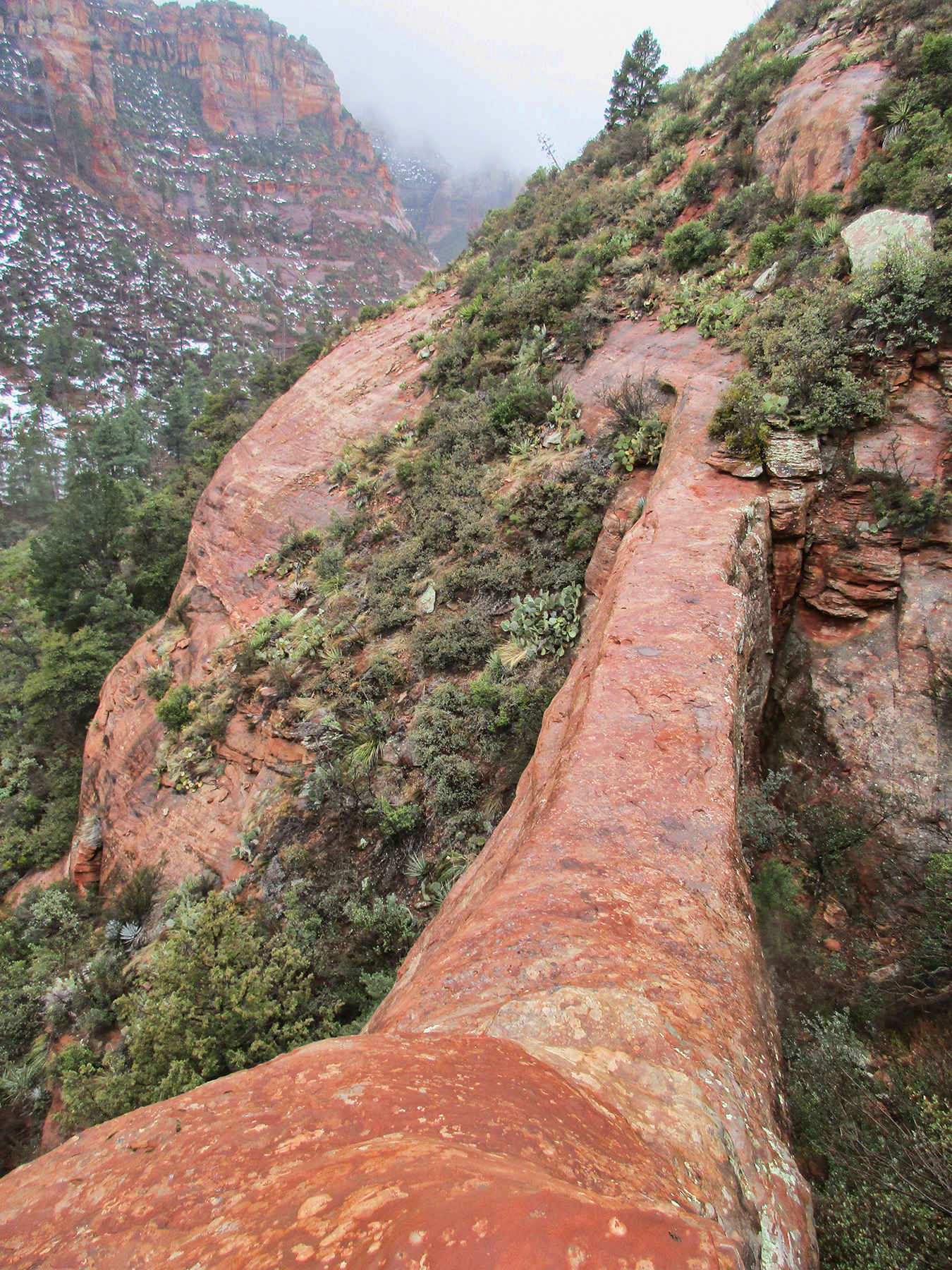
A GPS reading at the photo vantage point was 12S 429812.28 E 3866826.42 N, very close to that reported on the website.

Vultee Arch

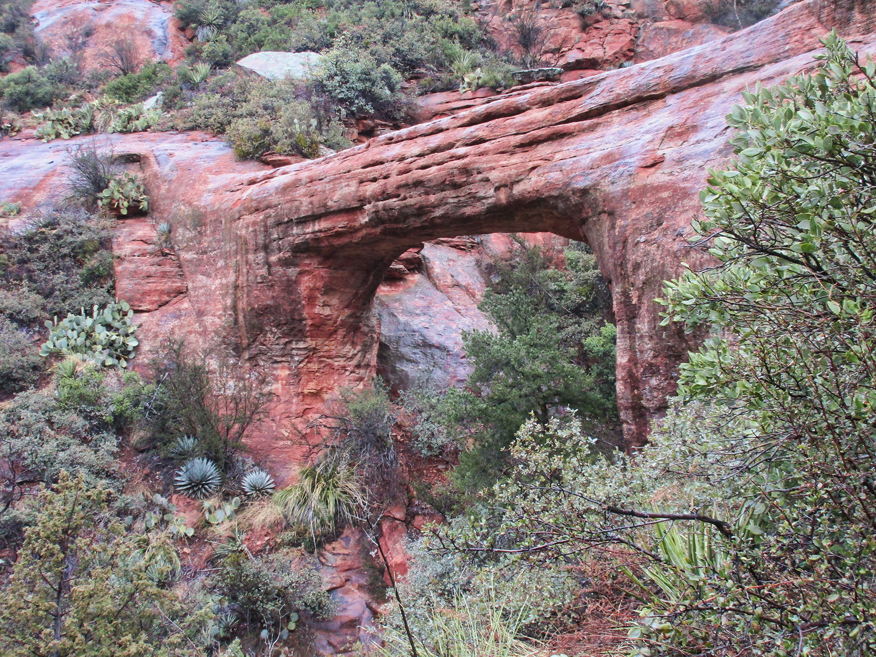
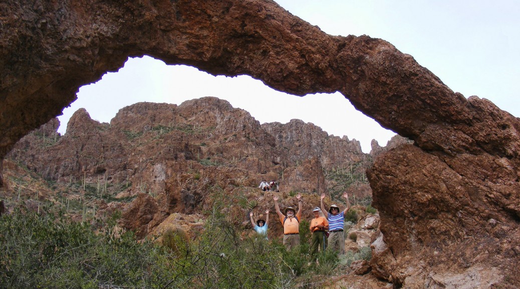
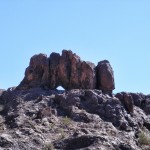
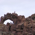
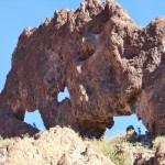
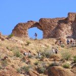
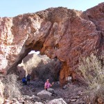
Vultee Arch from below. All photos courtesy Dave Kennedy.


NABS Presidents’ Day Arch Rally, February 2016, Arizona & California

Click on any image to start slide show.

An Accessible Arch Cluster in Grand Canyon

Rob Jones (The Wilderness Vagabond) reports a cluster of four natural bridges made of Kaibab Limestone only about a half mile from the trailhead at Hermits Rest at the end of the West Rim Road in Grand Canyon.

Called the Four Sisters, the arches were well known to the “hermit” himself, Louis Boucher, who included them on tours when he took tourists into the Canyon in the early 1900s. Originally called the Three Sisters, they became nearly forgotten. Rob learned of them from a Park Ranger who did not know their exact location but steered him in the right general direction and he was able to find them.

Below are two of Rob’s photos, followed by his video that shows all four of the arches.

Four SistersFour Sisters

Directions: Walk one quarter mile down the Hermit Trail, starting measurement at the trailhead sign. Watch for the low canyon off to your left, going down. As the trail gets to an easy access, drop into this low canyon and walk up canyon for 0.4 miles, taking the right canyon at the first branch, and the left canyon at the second branch. The natural bridges span the low drainage at NABSQNO 12S 391078 3990950.

A more direct way back to the trail can be hiked from the first fork you took going up canyon. Just hike north up the side of the canyon and back to the main trail (see map below). Or you can return the way you came. The whole loop is about a mile.

Four Sisters Map