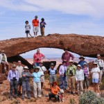
The October 2016 NABS Valley of Fire Arch Rally in Nevada was, as usual, filled with fun and camaraderie. Presented here is a slide show of photos taken by NABS President Larry Beck. Click on any image to start the slide show. The title of each image in the slide show provides the UTM WGS84 coordinates (the NABSQNO number) in zone 11S, and where present the name and catalog number of the arch. Catalog numbers refer to the Arch Hunter Books Valley of Fire series (available to NABS members).
Category Archives: 2. STATES
Portland Head Lighthouse Arch, Maine
By Nick Terzakis
Maine is not known for natural arches but there were four small ones reported in the Journal of Natural Arch Discoveries.
This October, Pat and I drove up the Maine coast stopping at some nice lighthouses. At the Portland Head Lighthouse in South Portland, ME you can see Portland Head Lighthouse Arch (ME-4), which is just south of the lighthouse.
Directions: In Portland, drive State Street south across the bridge into South Portland and turn left onto Cottage Road. Turn left into Ft. Williams State park and head to the lighthouse parking lot. You can see the arch to the south. Walk the trail south along the fence then go uphill to the top of the cliffs. Go left on a faint trail which goes on a pebble beach, and go right around the rocks to see the arch (only if it is low tide). The arch has a span of three feet.
Unfortunately nearby Portland Head Arch (ME-2) has fallen. It had a span of four feet. A scan of my old Polaroid photo is below.
Stornetta Public Lands
By Nick Terzakis
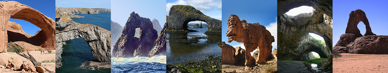
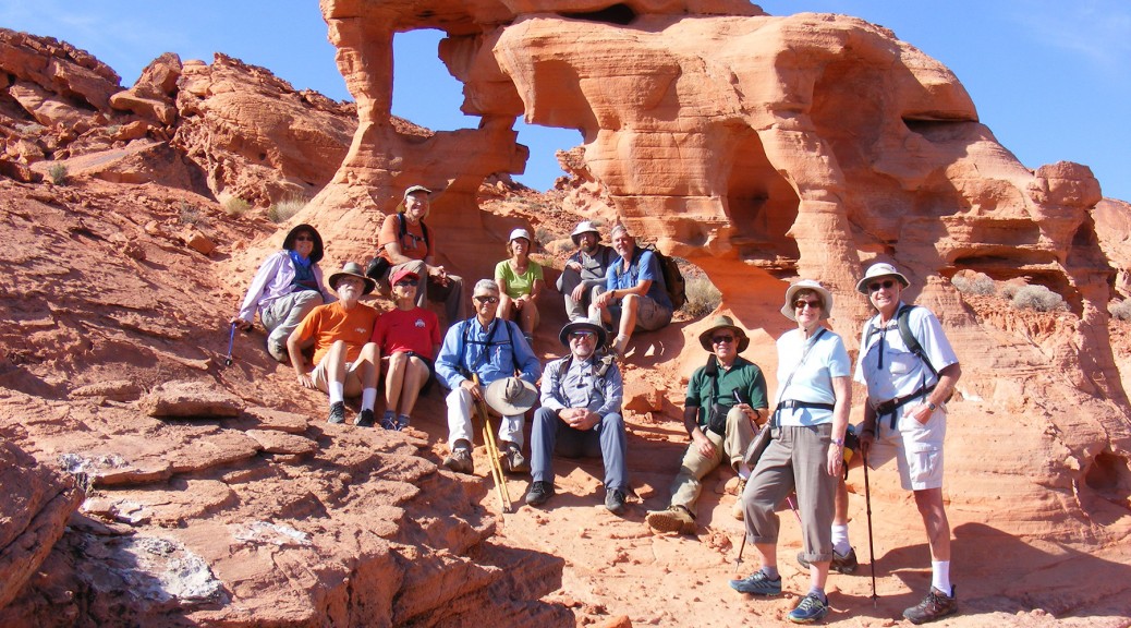
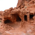
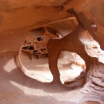
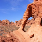
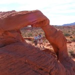
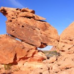
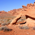
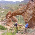
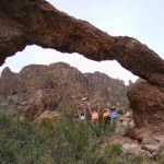
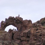
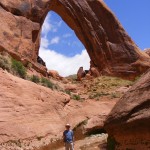
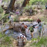
SPAN Editor Dave Kennedy gave me a tip about an area up the Northern California Coast called Storenetta Public Lands that has some sea arches. This area was once a dairy farm owned by Clover Creames based in Petaluma, CA. So I drove up to the area near the Pt. Arena lighthouse, parked at the Stornetta Public Lands trailhead, and walked the trail along the bluffs. It was quite windy. Coordinates given are from Jay Wilbur’s GIS section of the NABS website; sizes are estimates.
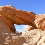
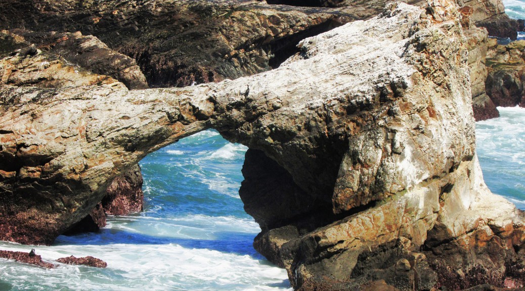
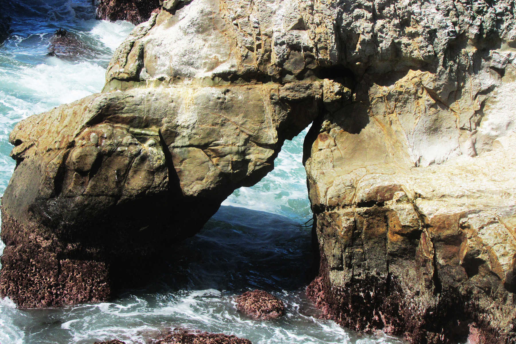
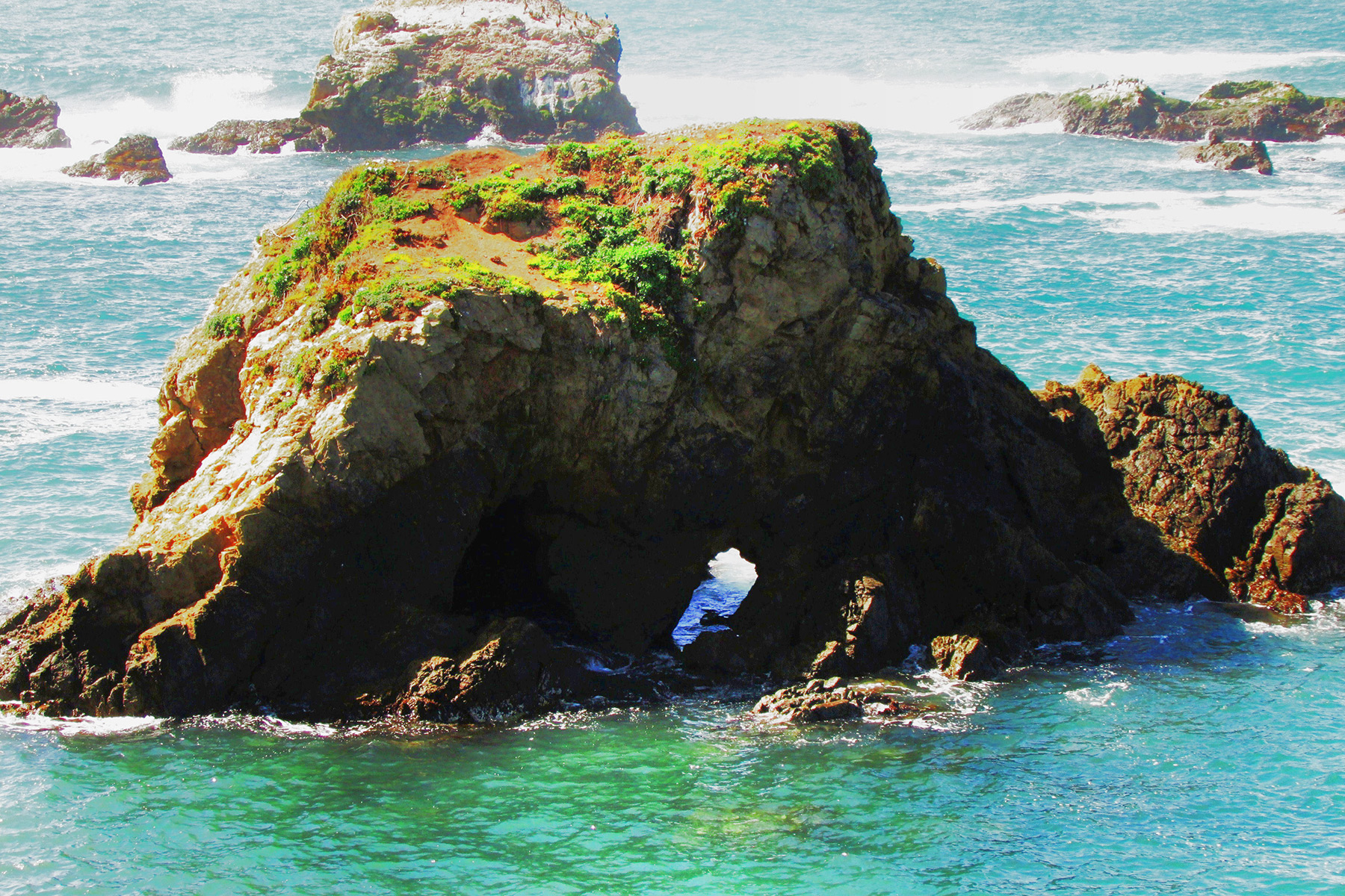
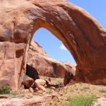
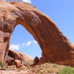
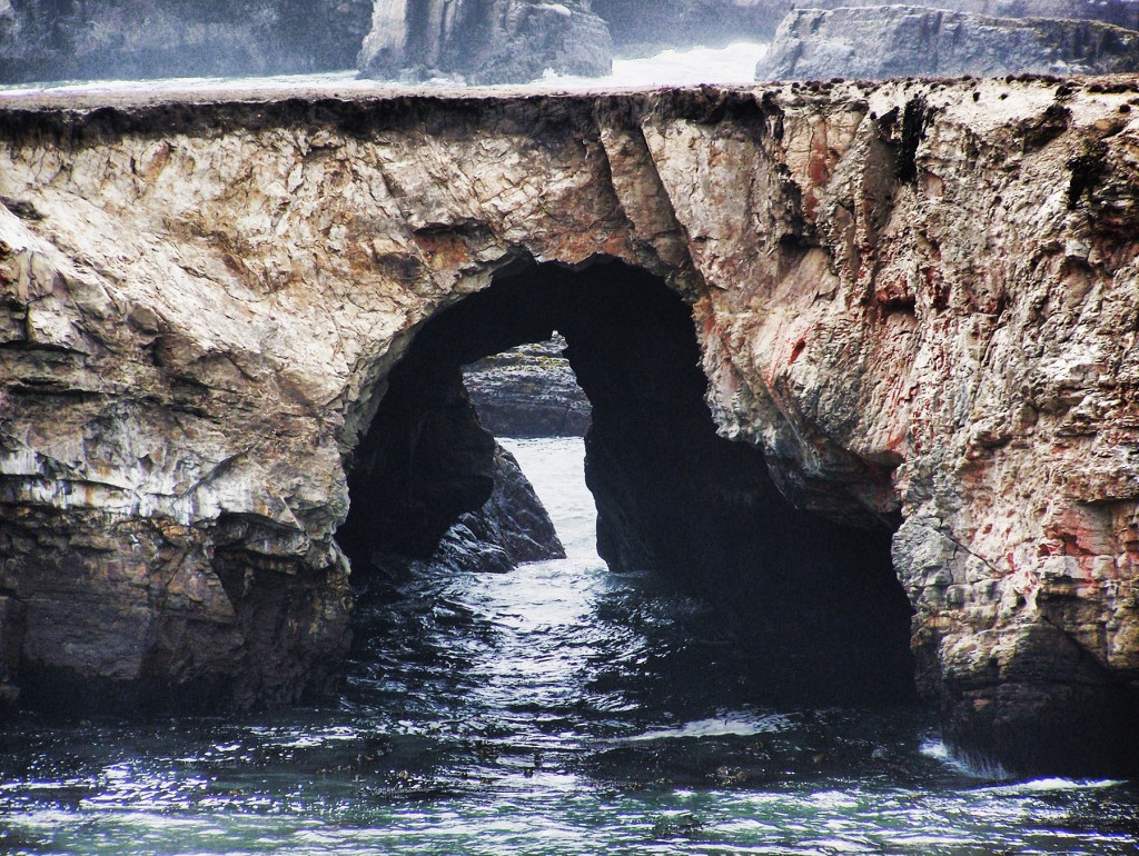
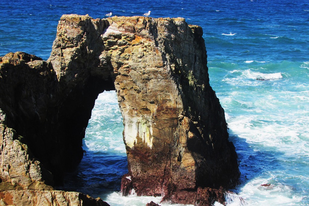
Off shore on a island is CA-85, Pt. Arena Arch, at 10S-43670-4310290, 30×35 feet, Photo 1:
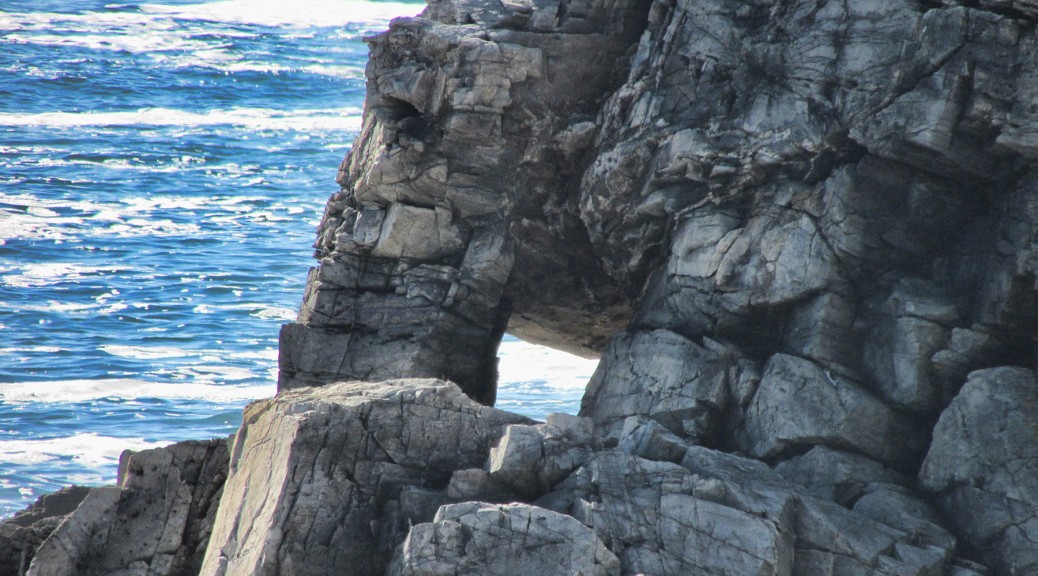
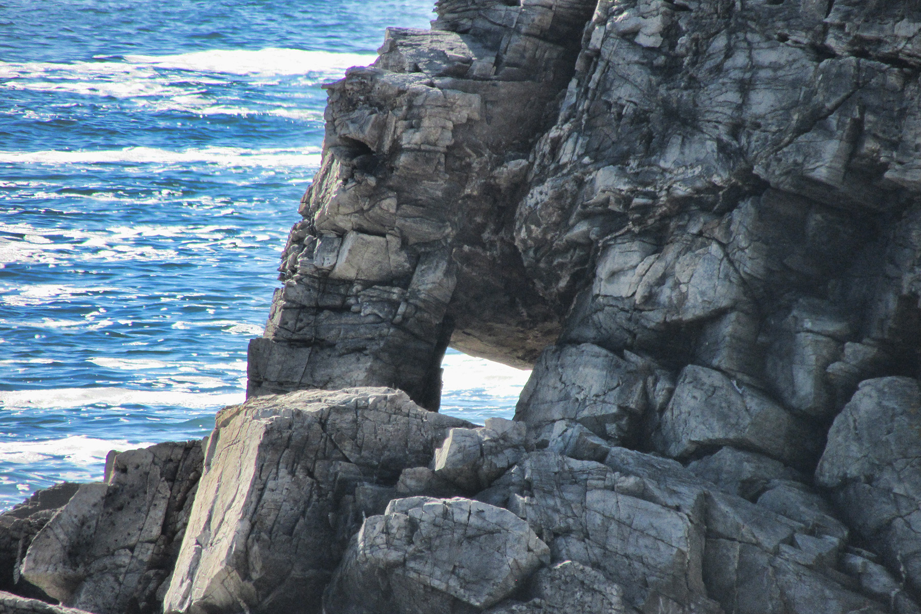
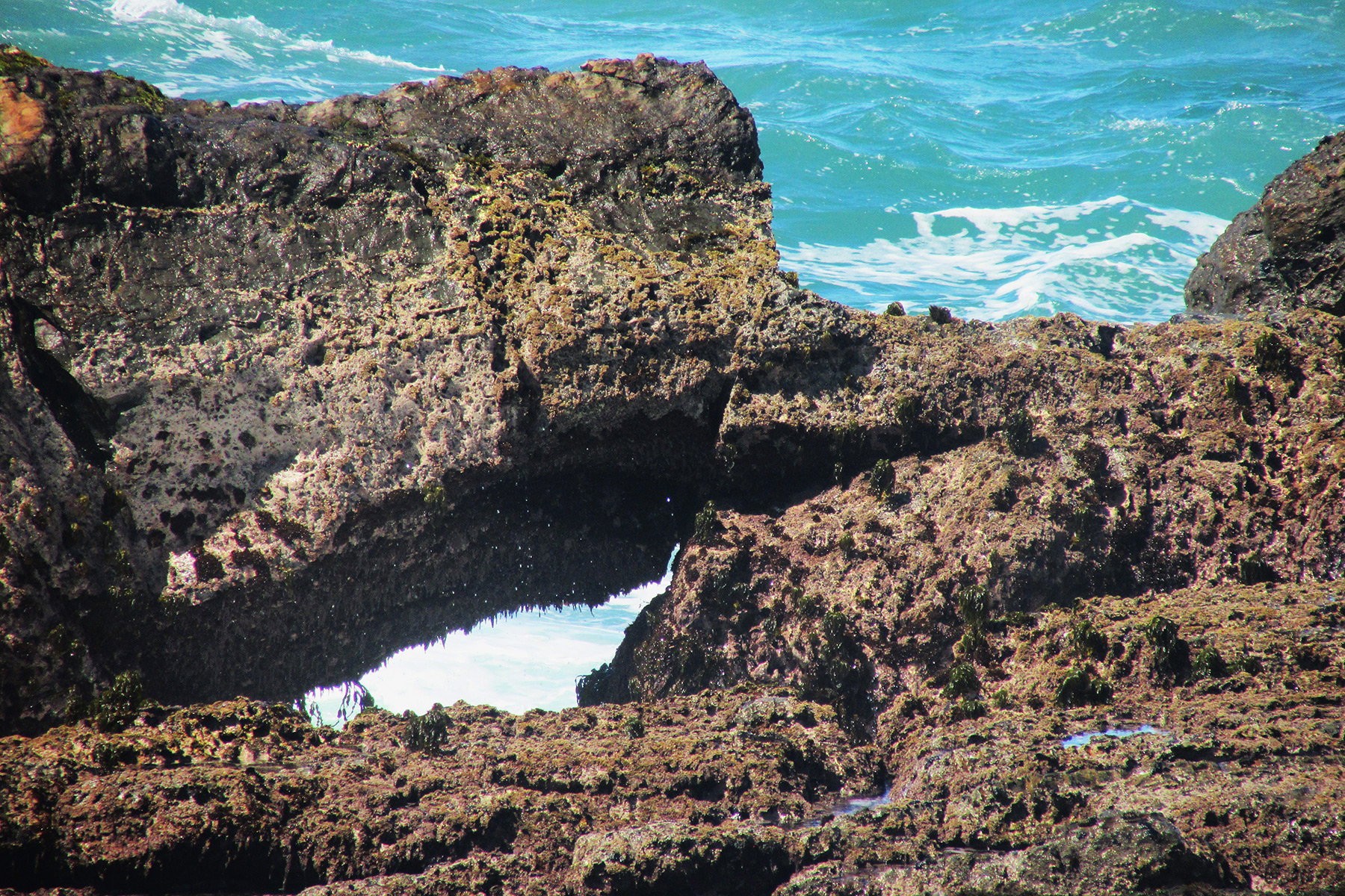
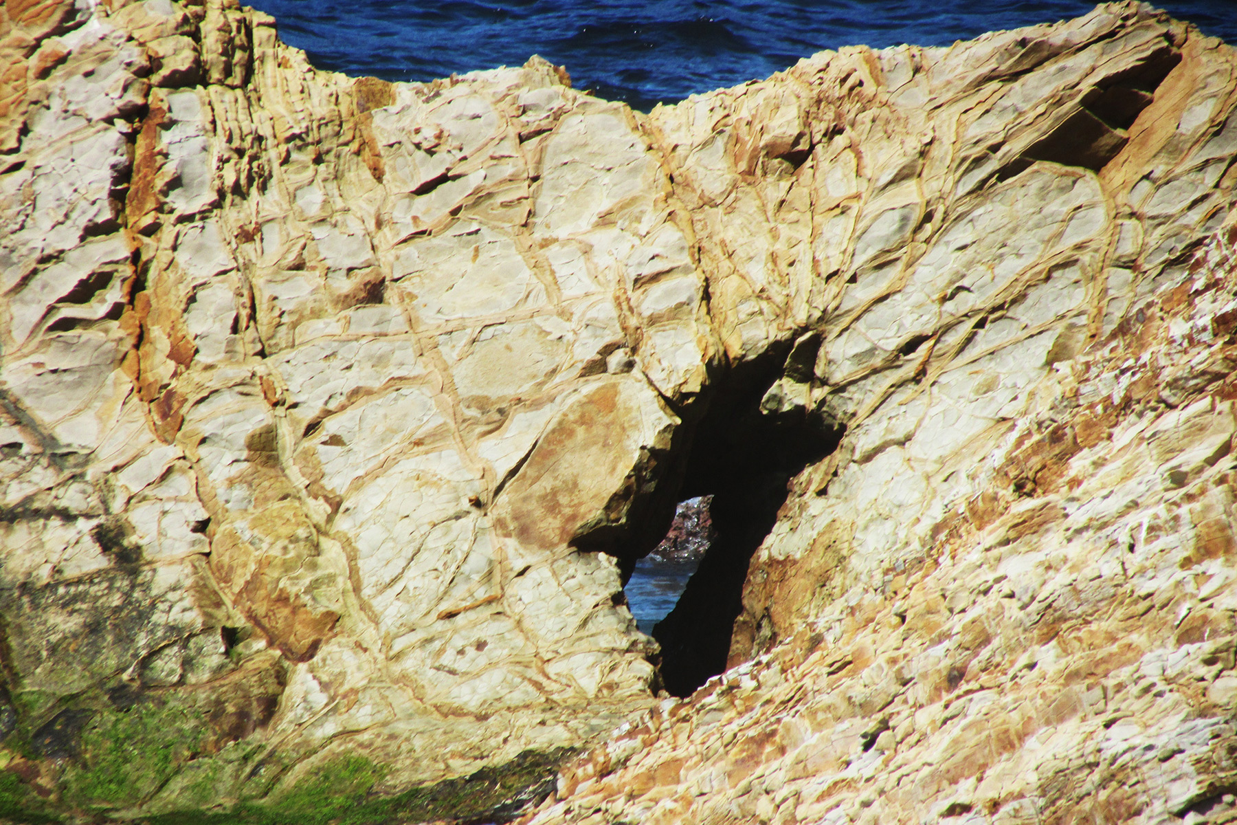
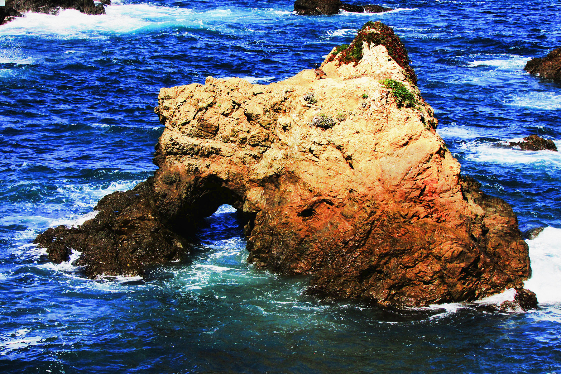
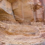
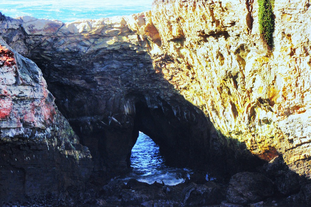
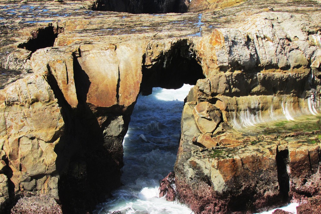
Just east of CA-85 are two other sea arches, 10×8 and 20×15 feet, Photos 2 and 3:
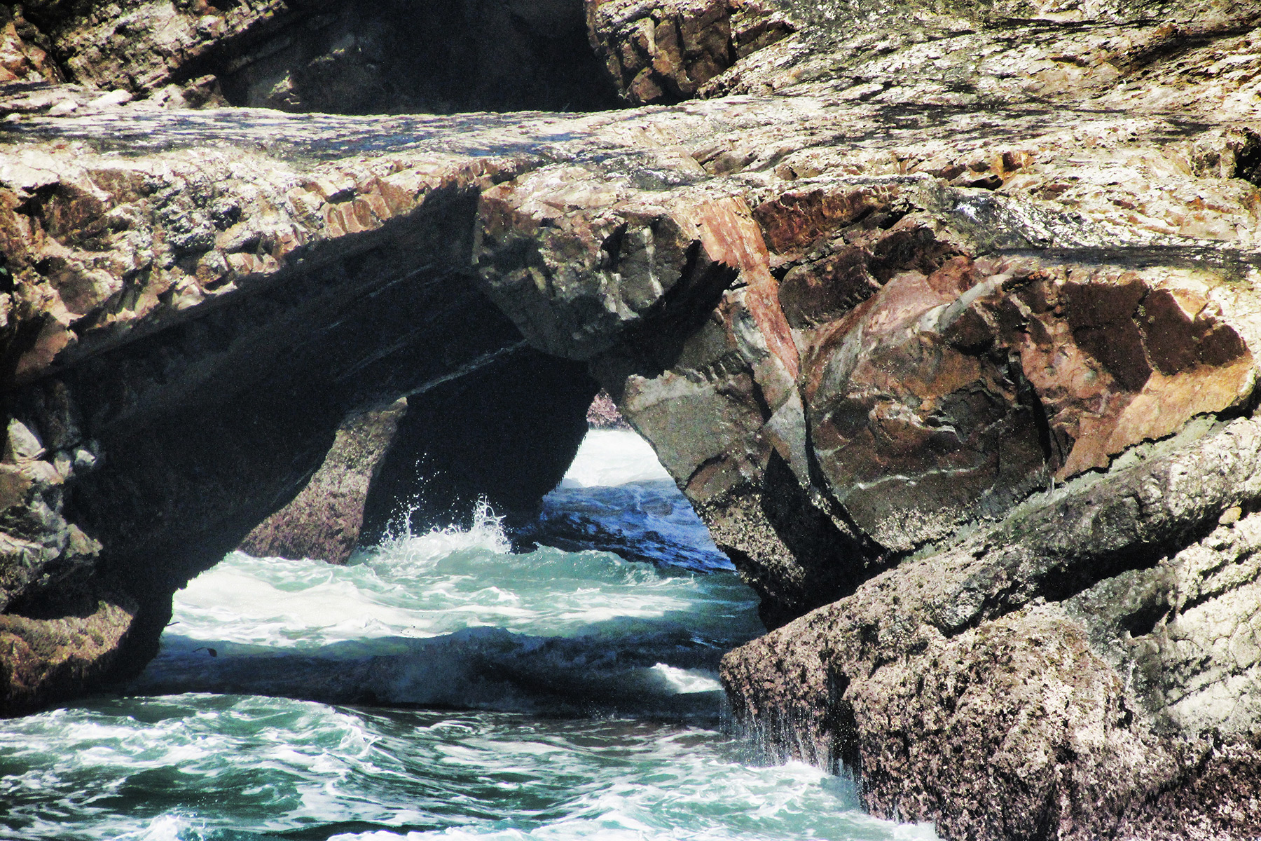
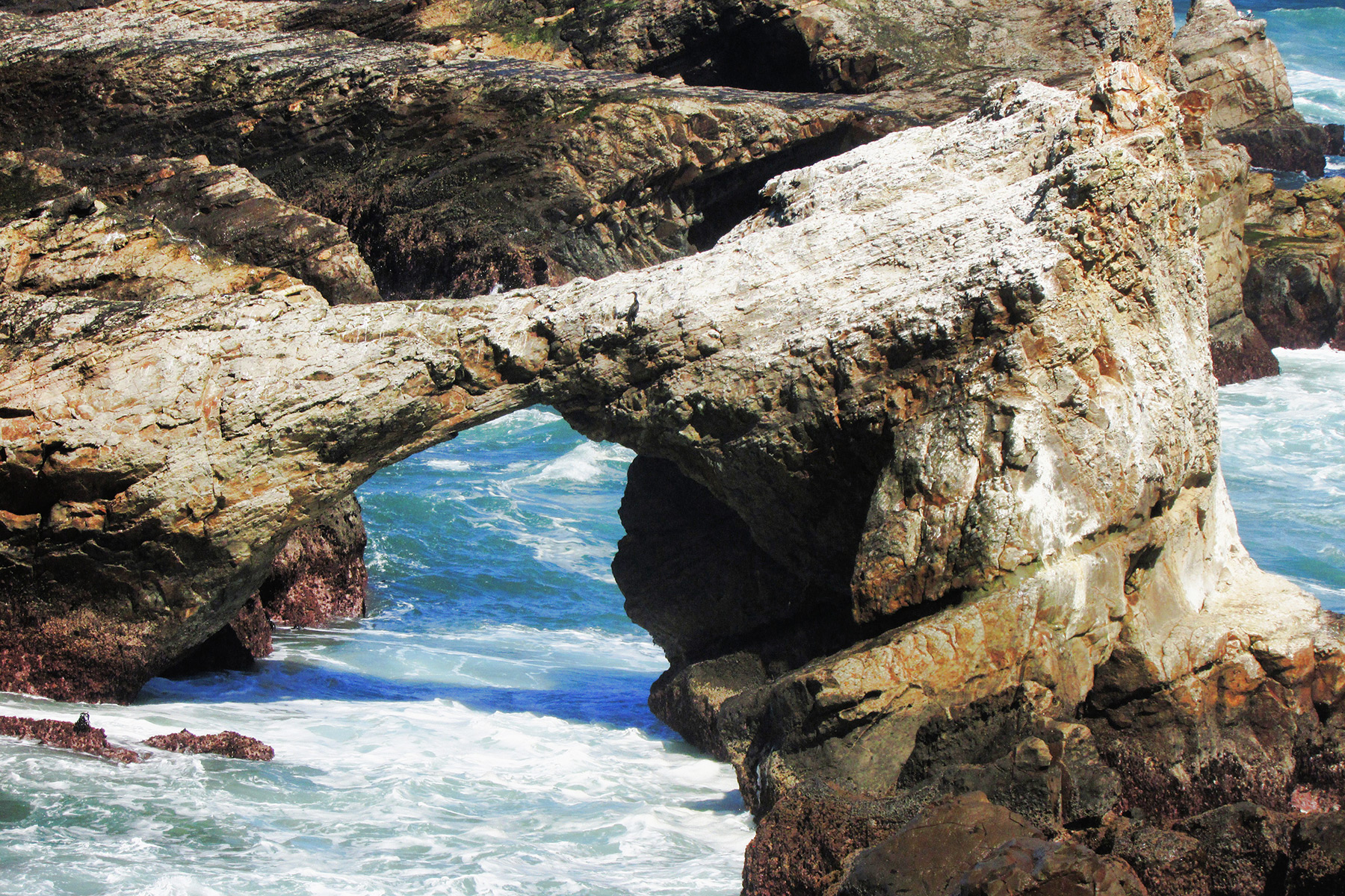
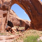
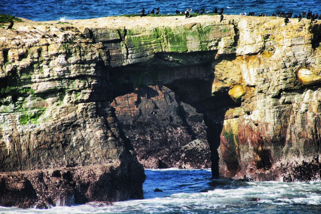
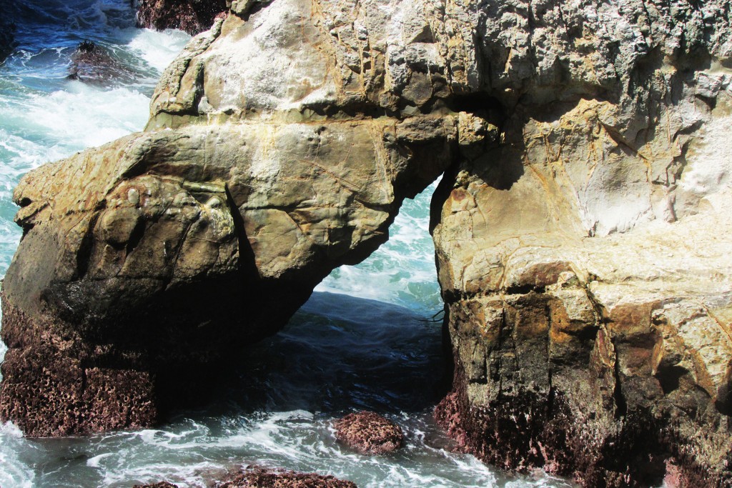
South on the trail can be seen an island called “Sea Lion Rock” which contains two arches, 10S-436670-4310055, 30×20 feet, and 10S-436730-4309980, 20×5 feet, Photos 4 and 5:
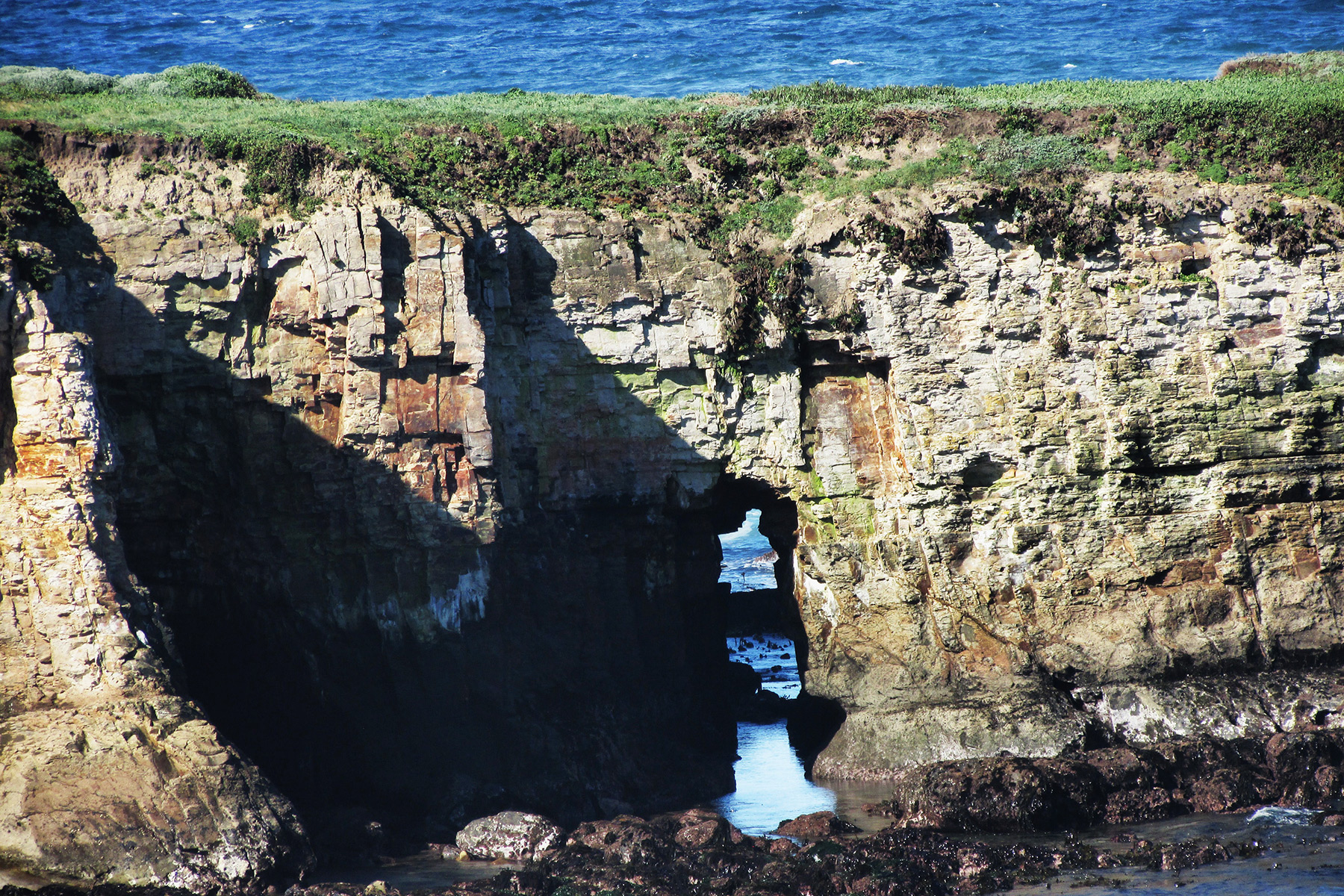
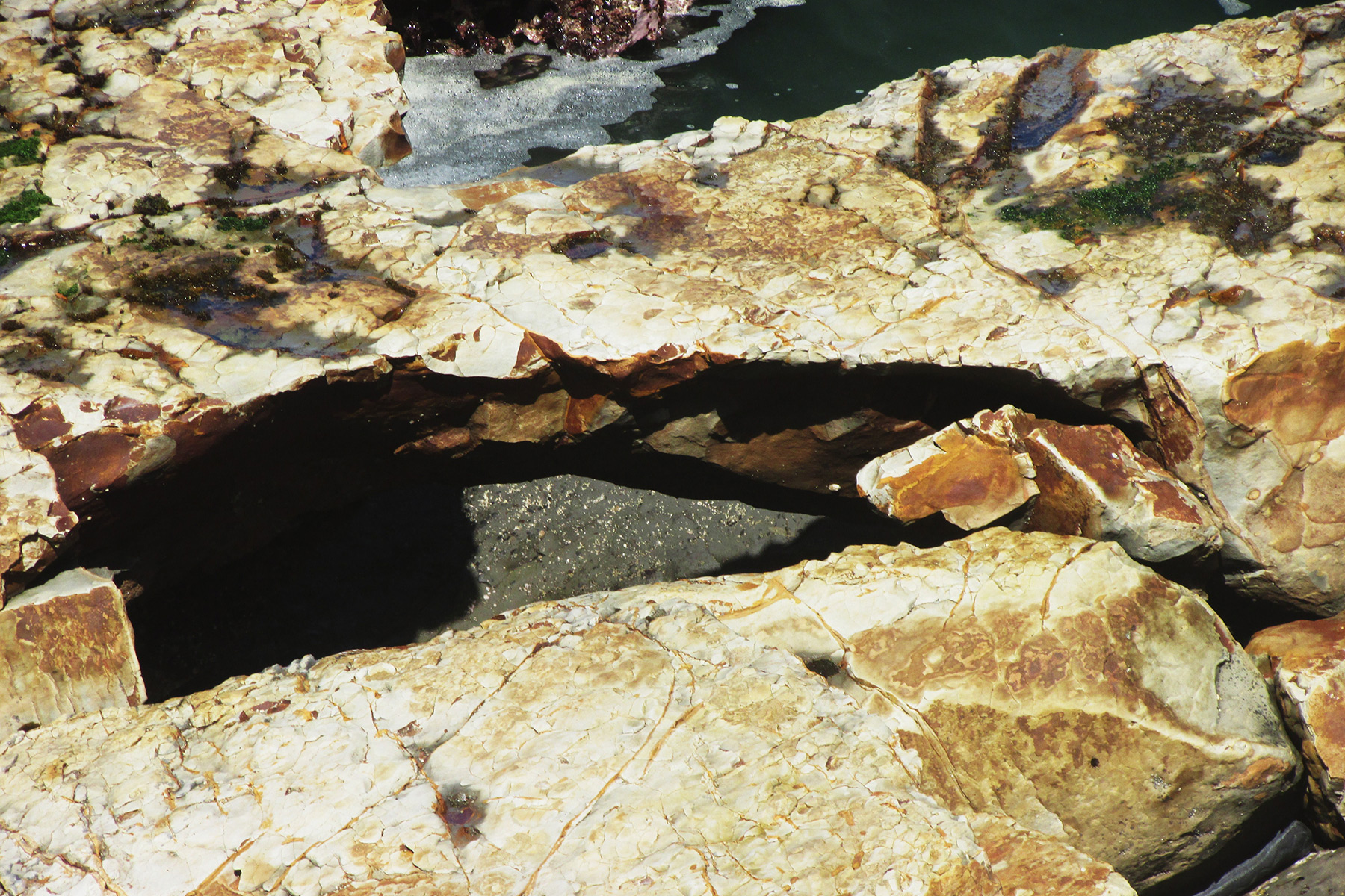
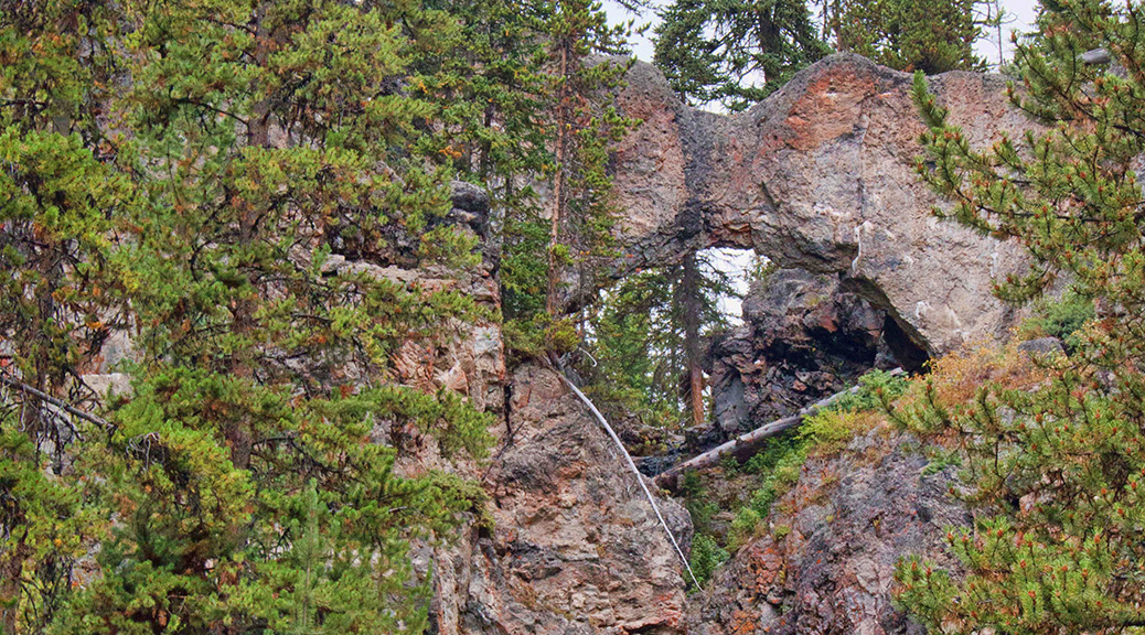
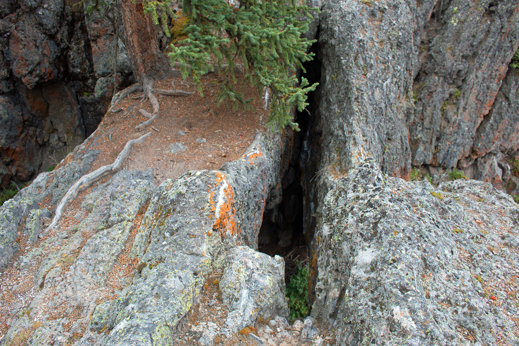
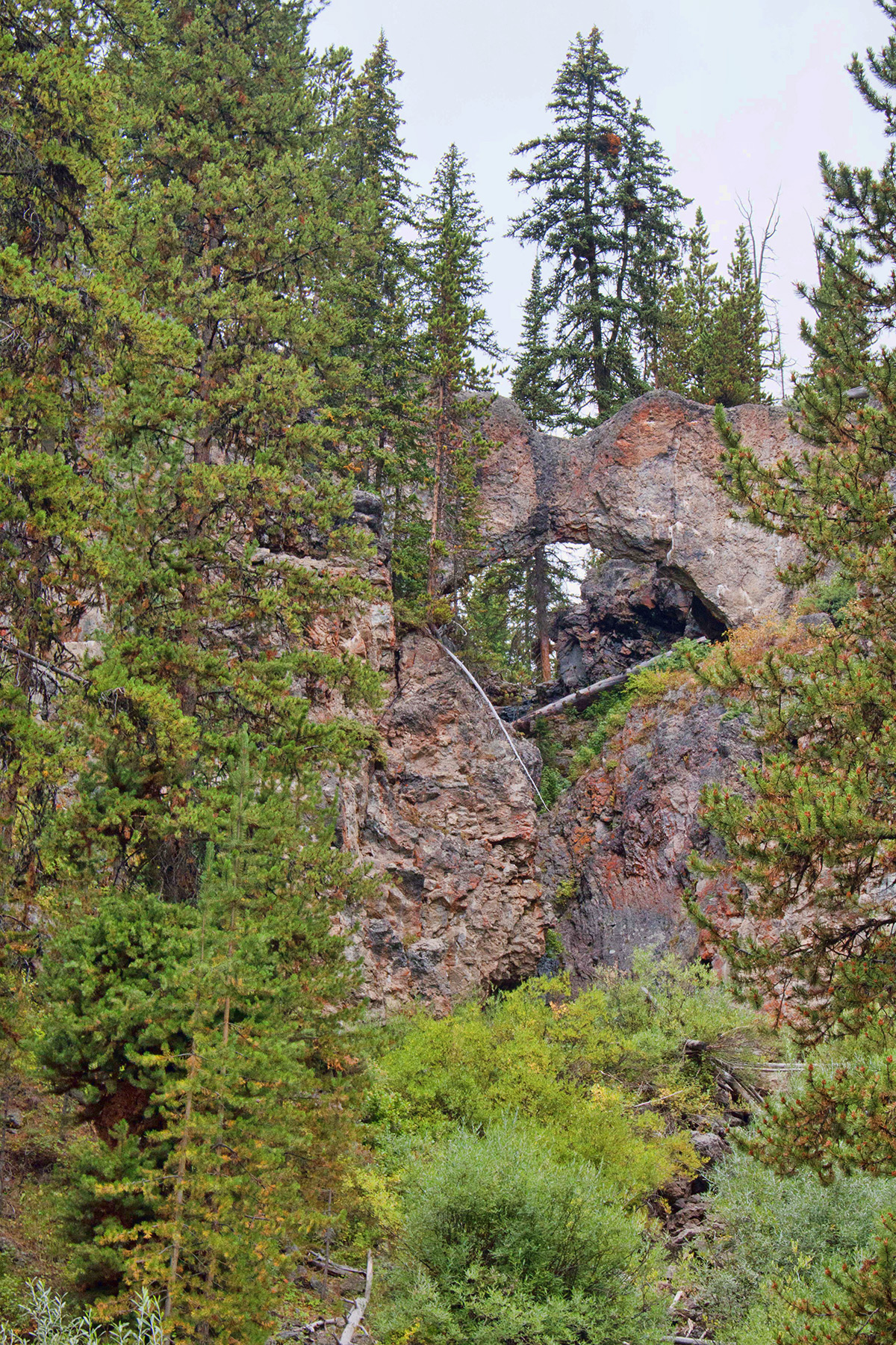
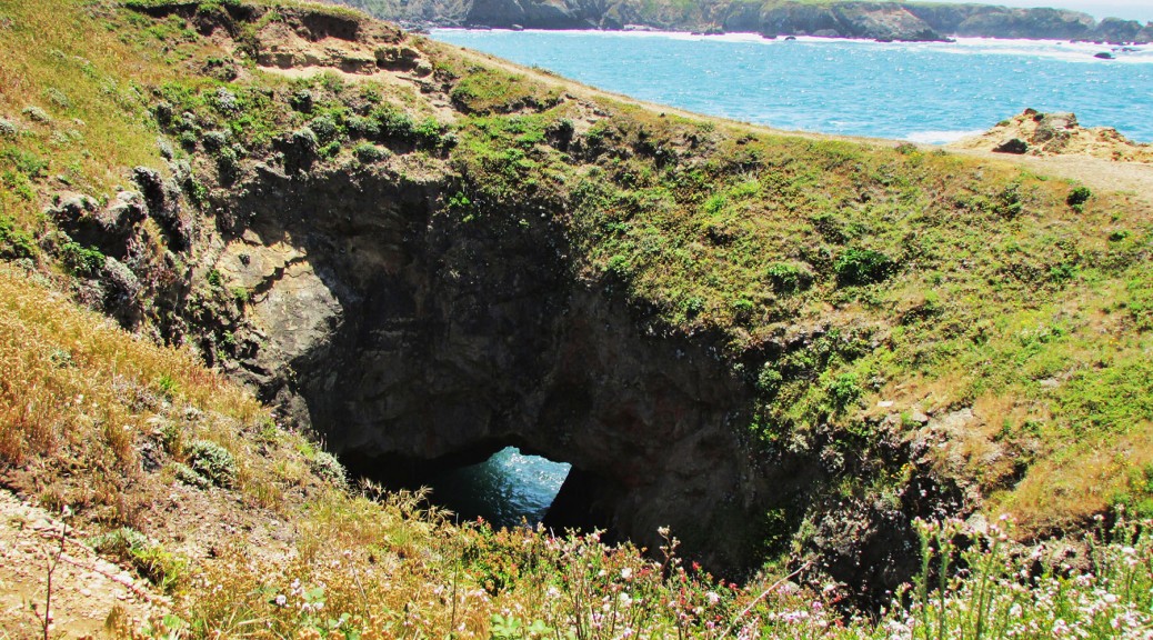
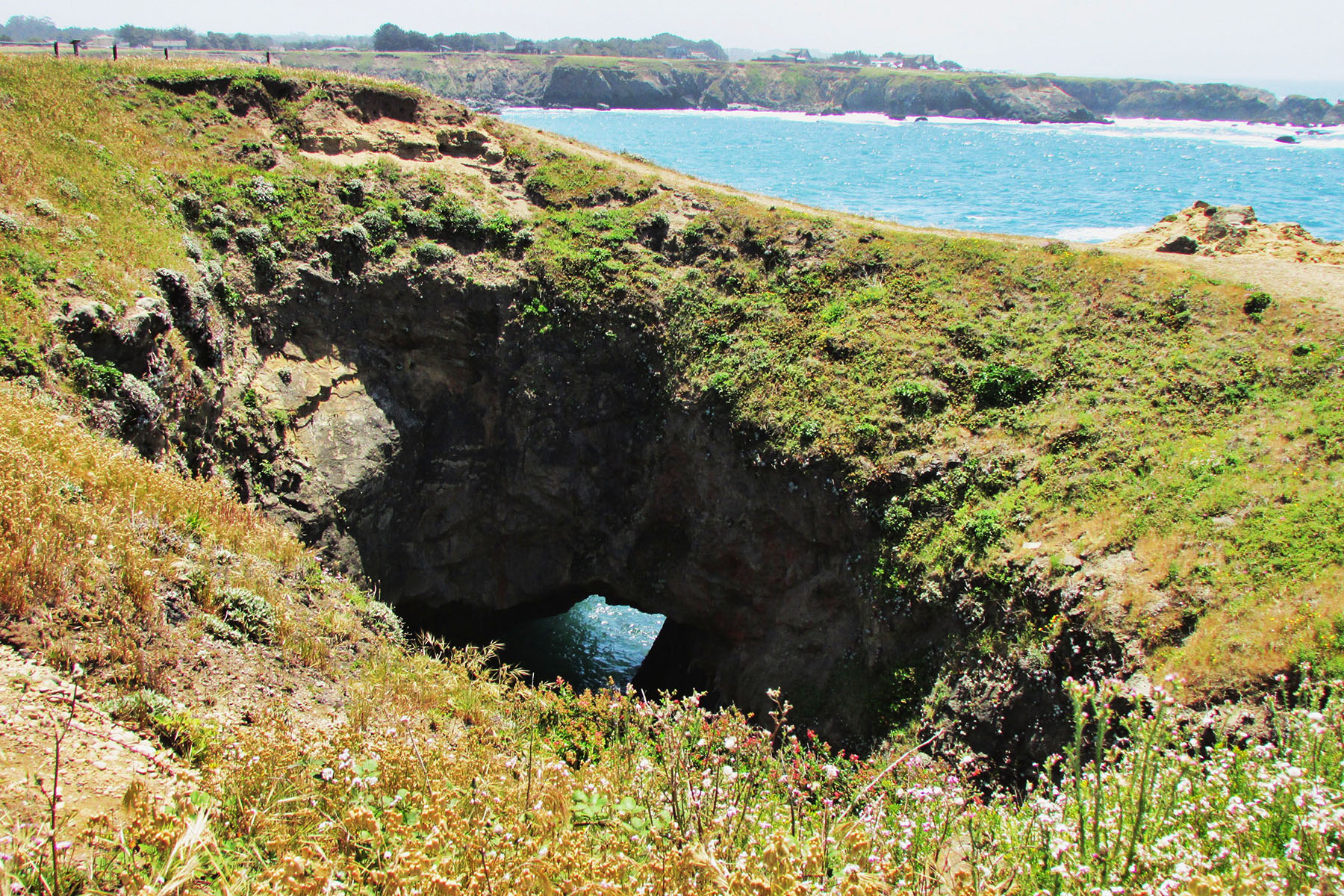
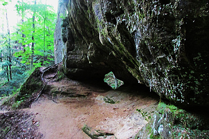
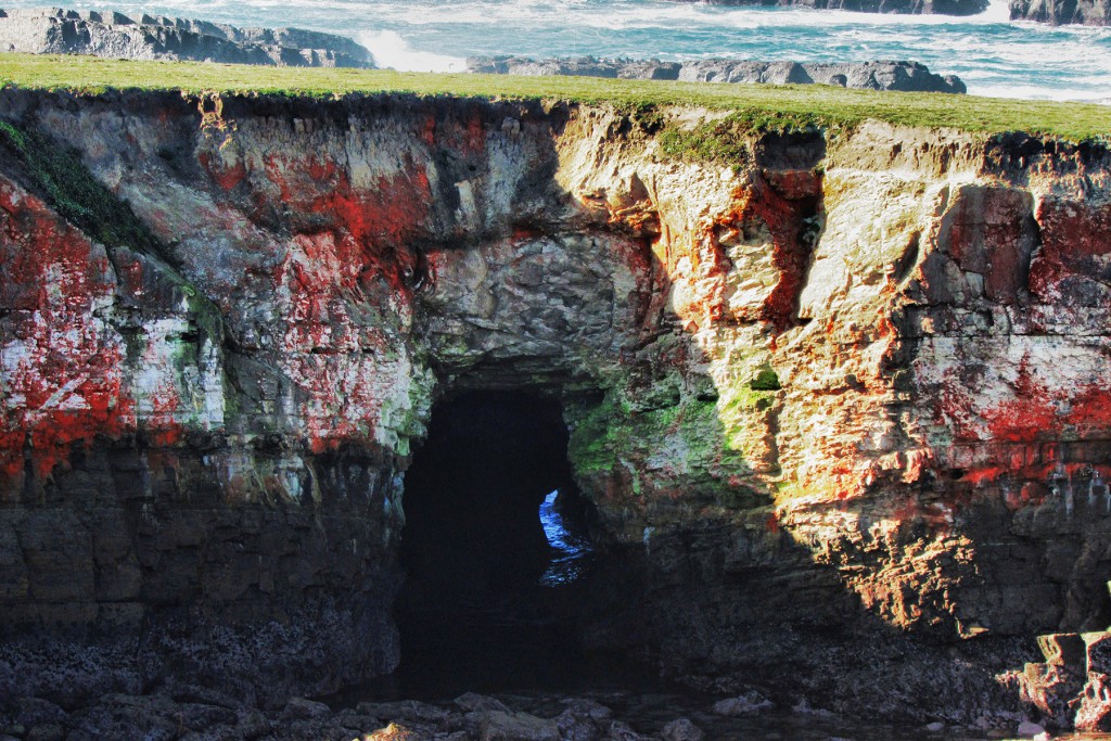
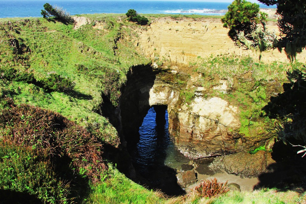
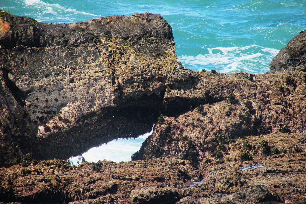
Further south along the trail near some trees is a sinkhole that has a sea arch with a pillar inside it, 10S-437040-4309680, 15×8 feet, Photo 6:
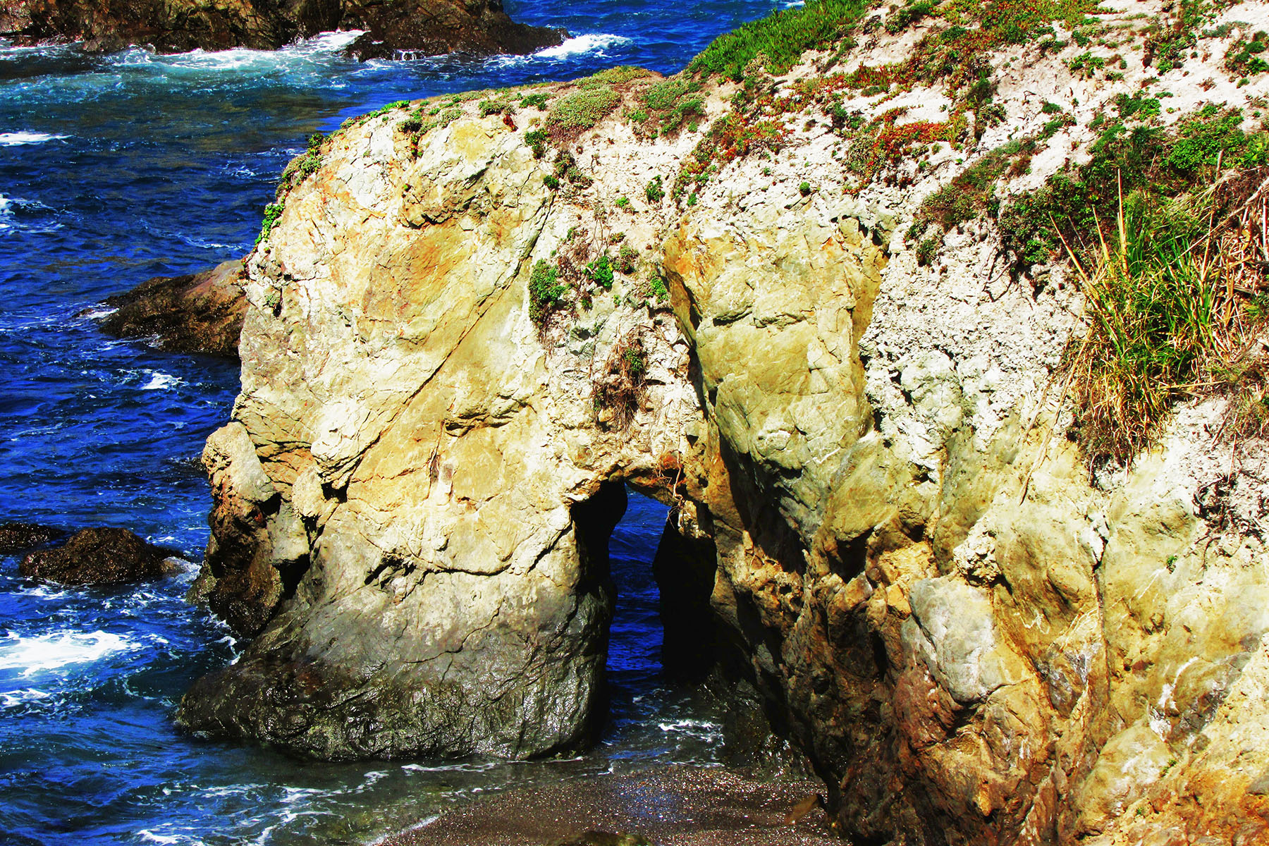
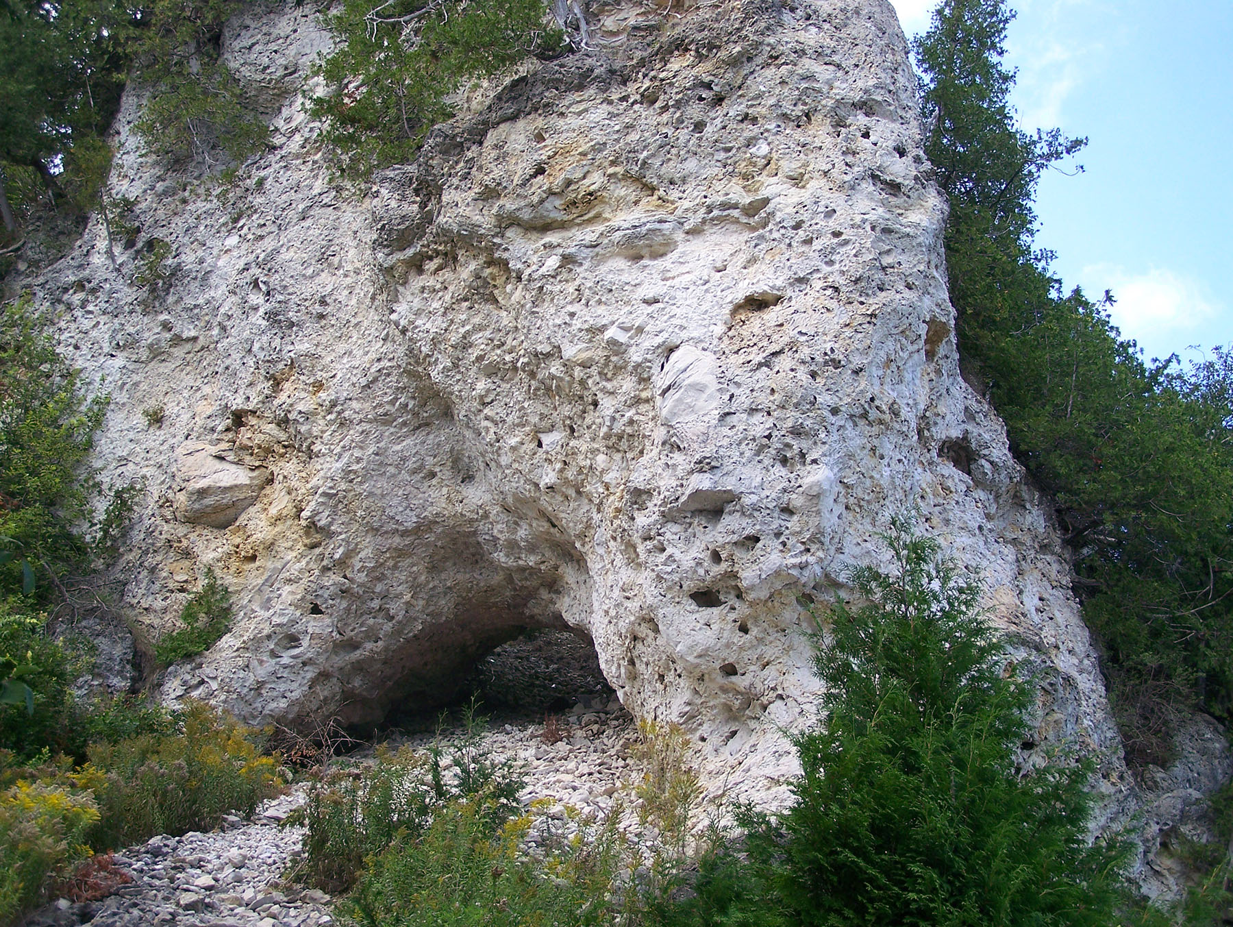
The trail soon crosses a creek, then goes up hill, and then goes around an agricultural conservation easement which is private property. The trail turns left onto a road and then goes right through a gated fence and follows the fence to the bluffs. On the bluffs on the private property side you can see an arch, 10S-436795-4309005, 10×8 feet, Photo 7:
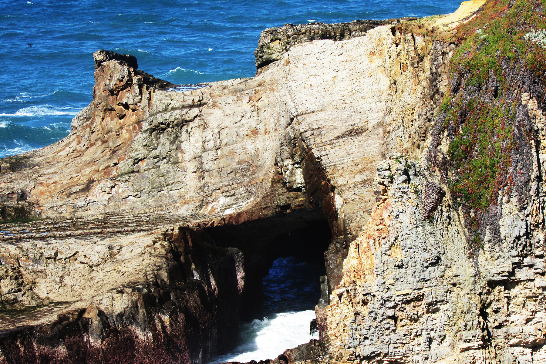
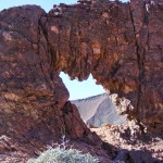
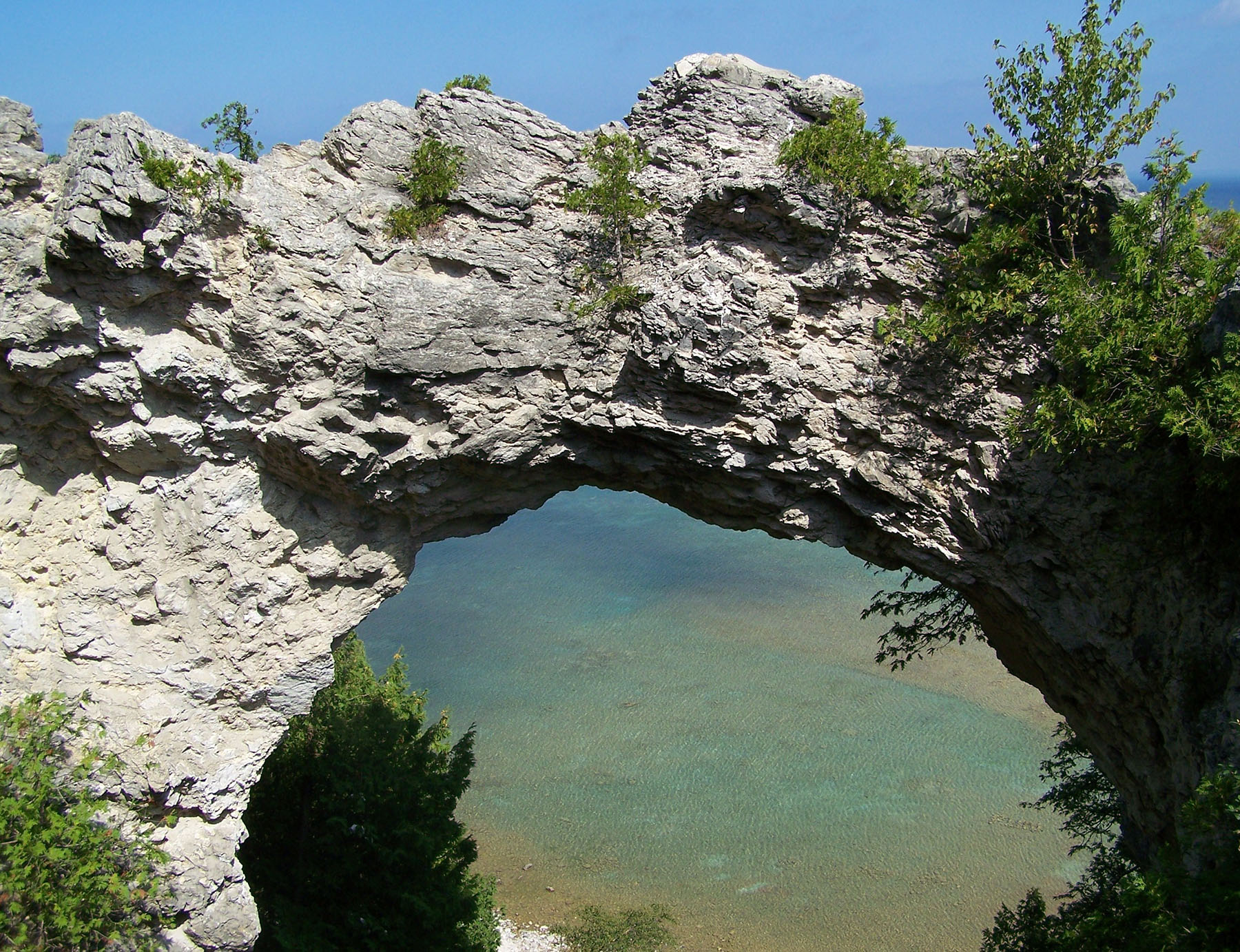
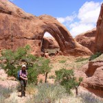
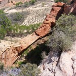
Go south along the bluffs to the first rock outcropping to find a nice arch, 10S-436805-4308560, 30×15 feet, Photo 8:
To the left is another sea arch, 10×5 feet, Photo 9:
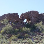
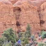
The second rock outcropping has 3 sea arches, one of which is a double, 30×15, 15×25, 25×40/30×20 feet, Photos 10-12:
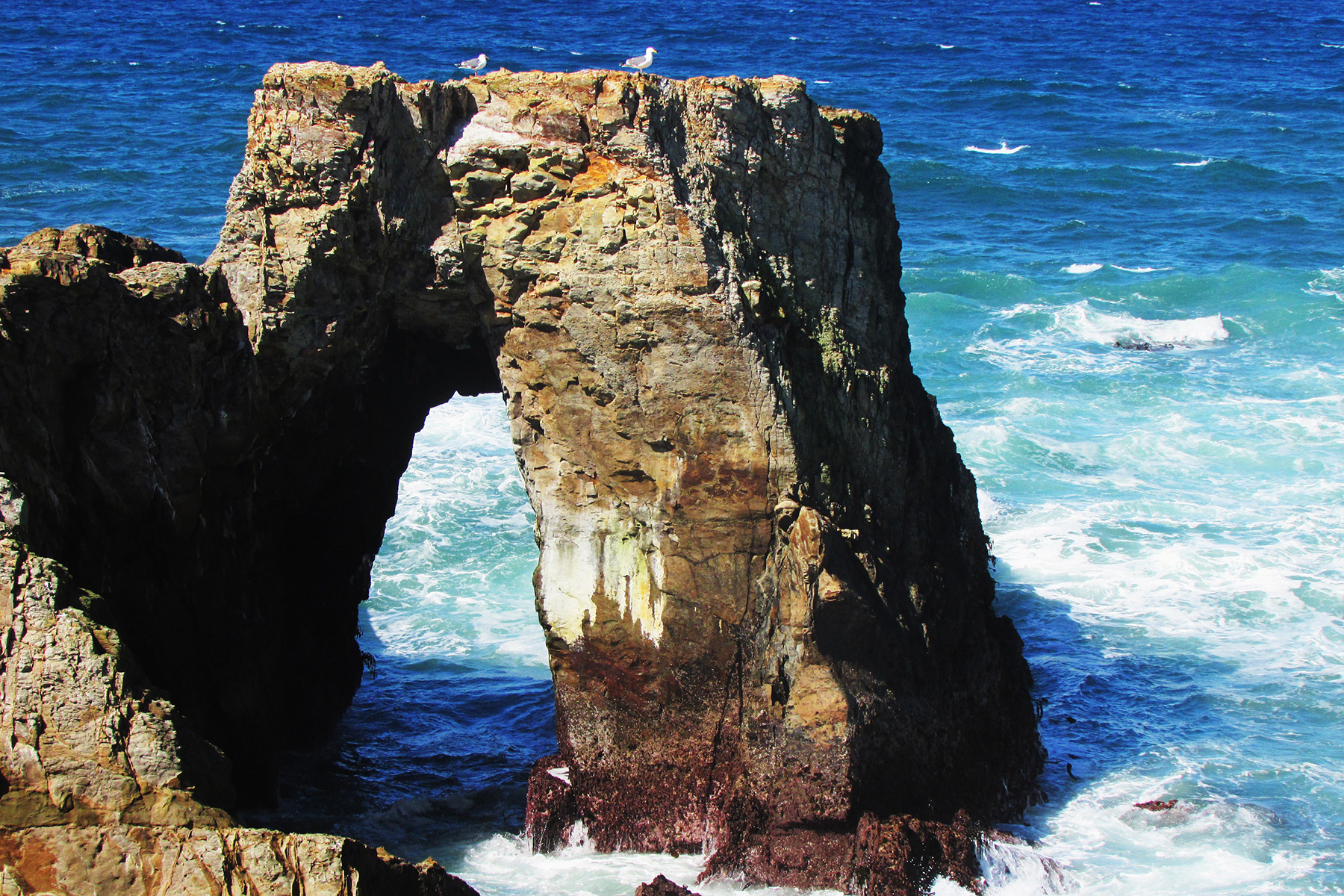
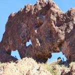
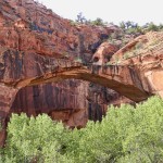
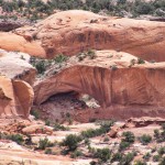
The next rock outcropping is The Hitch’n Post, 10S-436855-4308455, 20×40 feet, Photo 13:
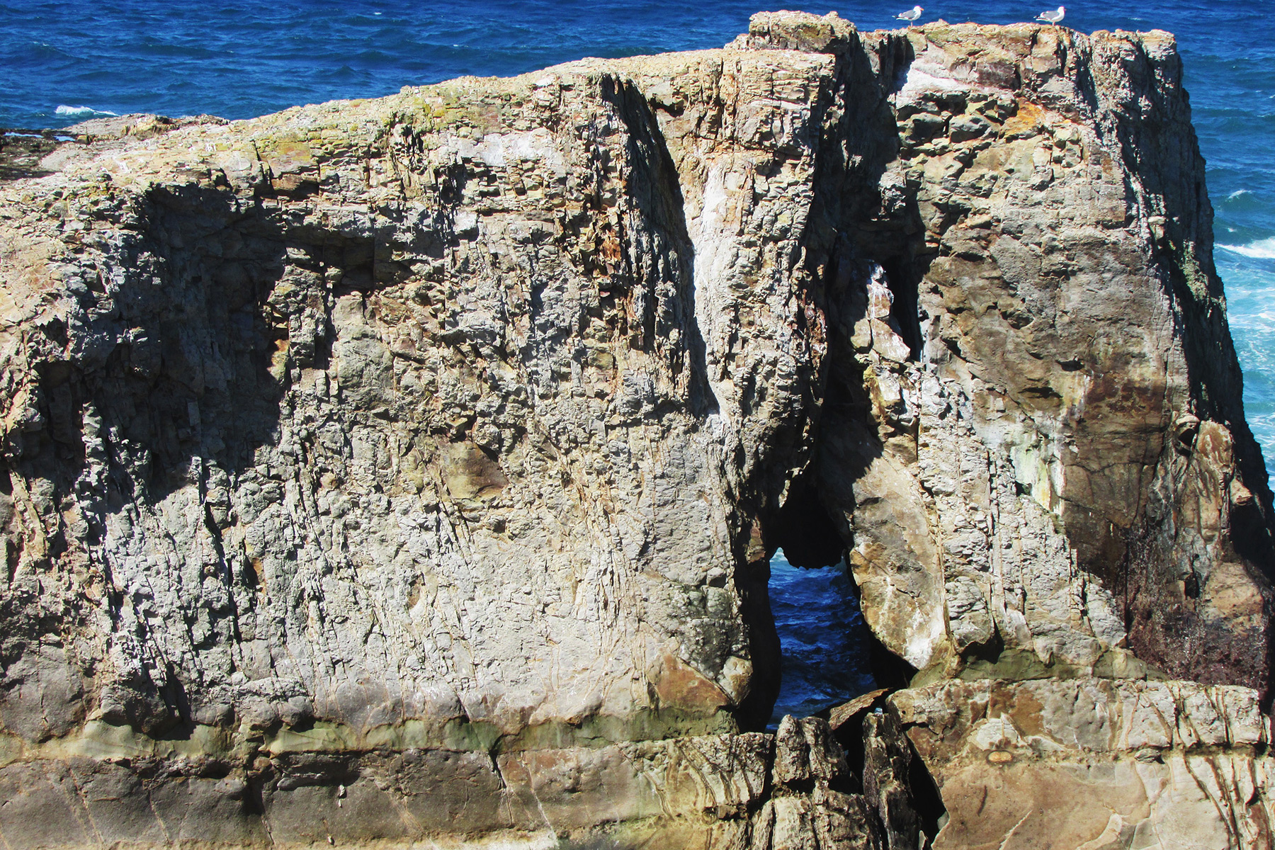
Below the view point of The Hitch’n Post is another sea arch, 10×40 feet, Photo 14:
South along the bluffs is a sea arch with seaweed growing inside it, 10×30 feet, Photo 15:
Further south in a cove is sea arch which was the last one I saw, 10×8 feet, Photo 16:
Yellowstone Natural Bridge
By Robert Robinson
I just got back from a trip to the Tetons and Yellowstone, and, of course, I made a point of hiking to Yellowstone Natural Bridge (NABSQNO 12T-543257-4930475).
A loop trail completely encircles the area where the bridge is, including going to the back side of the bridge from how I first saw it. At one point the trail goes near the top of the bridge and it was while I was standing there looking at the top of the bridge that I made an interesting discovery for myself.
The Natural Bridge of Yellowstone is actually a double bridge. The informational bulletin board down below the bridge mentions its height and span at about 51 feet and 29 feet respectively, but doesn’t say anything about it’s being double.
What I discovered is that behind the span that I first saw when hiking to the bridge there’s a good-sized crack that goes all the way through separating this front span from a second span that has a tree growing on it. As you can see from the first photo below, the front span has a rather narrow width and is almost pointed on top, while the second span is wider and more squared off. To get the photo of the top of the double bridge, I was standing up against the “Keep Off the Bridge” sign that the Park Service placed to one side of the bridge to keep visitors from walking on top or across the spans.
In Vreeland’s Nature’s Bridges and Arches Volume 19 he mentions the double nature of this waterfall-type natural bridge and gives the widths of the two lintels as 2 feet and 5 feet.
The photo above shows the double nature of the span. The photo below shows the view from the standard approach.
Noyo Headlands Park, CA
By Nick Terzakis
This past Memorial Day, Pat and I drove up to Fort Bragg, CA and stopped at Noyo Headlands Park which is a newly opened park. The city bought the land that used to be the the old Georgia Pacific Lumber Company and made some walking trails along the bluffs with some beautiful overlooks. The first area we visited was the southern entrance to the park which can be reached from State Hwy 1.
We turned west onto Cypress St. in Fort Bragg and parked at the end of the road. We walked the trail west then north to Johnson Rock. On the way is CA-209, Skip’s Punchbowl (10S-429814-4364940, span 15′ x height 20′):
The last area we visited was the northern entrance to the park which can be reached from State Hwy 1. We turned west onto Elm St. in Fort Bragg and parked at Glass Beach. We walked the trail west then south to Otsuchi Point. Just before reaching Otsuchi Point there are some steps made from logs that go down to a beach.
At the left side of the beach is CA-208, Glass Beach Arch (span 3′ x height 3′):
Back on the trail to Otsuchi Point are 4 more sea arches as follows.
Skeleton Key Arch (span 3′ x height 6′):
Island Arch (span 2′ x height 4′):
Cavity Arch (left opening span 10′ x height 14″ and right opening span 2′ x height 14′):
The Top of the Crown
By Stan Wagon
Silverthorne, Colorado
stanwagon.com
I learned about Crown Arch (NABSQNO 12S-681690-4333545) in Mee Canyon (west of Grand Junction, Colorado) from Bob Fagley’s comprehensive site Bob’s Arches, and visited it twice in May 2010 and 2012. As often happens, the very first picture (above) was the best (showing the classic view from below).
My wife Joan Hutchinson and I approached it that first time via a long and complicated route, but exited in a more straightforward way and it is the latter route that I used on the two trips since. In 2012 Jonathan Kriegel, Dave Blakeslee, and I visited Crown and also Two Feathers and Will Minor Arches. These two visits to Crown made me really want to check out the top.
On Sunday, May 1, 2016, Bill Briggs and I went in with ropes and gear to see what might be accomplished from the top of the arch. We had hoped to do this on Saturday, but the road was too muddy due to a huge rainfall on Thursday. It was fine on Sunday after a dry night.
We found the top of the arch with no difficulty after just a little over two hours of hiking from the parking spot at the gate, about three miles before the official Rattlesnake Arches Parking spot. We hiked down the road for about a kilometer, and then turned left on old roads to get to the arch. In fact, one should just beeline it to the old road system from the parking area, and that is what we did on return, which took a little under two hours for the approximately five mile trip.
From the top of the arch the angle looked steep so we decided not to try and go lower and then climb it, but just to work on photography. To that end, I rappelled into it from a solid small tree anchor, but Bill also put me on belay on our second rope so I could stop anywhere for photography. I went down about 70% of the way to the bottom. I think now that this would be climbable from the bottom, but talk is cheap. I had one jumar with me and getting back up with the help of that was a triviality: so much easier than the old-school technique of prusiking.
Photos
Bill checks out the top of the Crown:
Looking down the Crown from the top:
Looking down from a little below the top:
The top of the arch is guarded by a pig:
Looking across Mee Canyon after descending a little bit on rappel:
A panorama from three frames of the upper part of the Crown. This was the sort of shot I was looking for. It is an unusual view of the Crown’s interior:
The whole Crown from below:
Looking up Mee Canyon from my low point inside the Crown:
Here is our GPS track superimposed on a Google Earth image. The canyon north of “Lap 1” is Rattlesnake Canyon.
NABS Presidents’ Day Arch Rally, February 2016, Arizona & California
Click on any image to start slide show.
Michigan’s Upper Peninsula Sea Arches
By Nick Terzakis
A lot of people usually take the boat tour from Munising to see Pictured Rocks but never take the time to hike the area and hence miss out on some nice sights (including arches). I decided to hike the trail to see Vreeland’s 14-2, 14-3 and 14-4.
From Munising drive County Road H58 east and turn left onto Miners Castle Road (H11). Along the way you can stop at Miner’s Castle Falls which is a 1.2 miles round trip hike plus 77 steps to the lower viewpoint.

Back on Miners Castle Roadd (H11) driving north, turn right onto Miners Castle Beach just before you reach Miners Castle viewpoint (which is worth a stop), then turn right at a “T” intersection and park at the end of the road.

Walk the Lakeshore North County Trail east as it climbs up the cliffs. On top of the cliffs at over 3 miles is V14-3, Lover’s Leap Arch (NABSQNO 16T-539180-5153408).

At over 6 miles is V14-4, The Grand Portal (NABSQNO 16T-541282-5155686).

At over 7 miles is V14-2, Chapel Rock (NABSQNO 16T-543097-5155155).

One interesting thing about Chapel Rock is that the tree that grows on top is clinging to dear life by its roots which extend to the cliffs.

Also worth seeing are Chapel Rock Falls and Mosquito Falls.


That day I hiked over 16 miles round trip to Chapel Rock. Another way to reach Chapel Rock is to drive County Road H58 east, turn left onto Chapel Rock Road and walk the trail. A map of the trails is below (click for larger version).
Near Munising is a natural window which measures 3 feet in diameter. From Munising drive County Road H58 east, turn right onto Nestor Street and park near Cleveland Street. Look for the trail to Memorial Falls and go down to the falls. To the north you can see the natural window (NABSQNO 15T-513566-5117066).

On Mackinaw Island there is V14-1, Arch Rock, and below it to the left is V14-101, Sanilac Arch. The island can be reached by taking the ferry from Mackinaw City or St. Ignace.


Some more information about several of these arches can be found in our GIS section.
Norm’s Stargazer Arch
NABS is pleased to announce that we have selected an arch to name in honor of the memory of long-time member and SPAN publisher, Norm Self, who passed away earlier this year. Norm and his wife, Linda, lived in El Centro, CA for many years and Norm delighted in taking numerous friends out to see the arches on “Three-Arch Hill” in Gavilan Wash west of Picacho State Recreation Area in eastern Imperial County, CA. This area had special meaning to Norm and Linda and that played a role in selecting one of these arches to honor Norm.
The three arches located there have been unofficially referred to as Hag’s Tooth (CA-146), Gavilan Wash Arch (CA-145), and Eye of the Hawk (CA-144). “Hag’s Tooth” was aptly used for obvious reasons, and Gavilan Wash Arch was too small (5-foot span), so we chose Eye of the Hawk to honor Norm. Therefore, California arch NABSQNO 11S-707583-3657511 will hereafter be referred to by NABS as Norm’s Stargazer Arch (“Stargazer” was Norm’s old CB handle). Eye of the Hawk (“Gavilan” is Spanish for “hawk”) will be retained as an alternate designation. Of the three arches, Norm’s Stargazer Arch is the largest, northernmost, and highest elevation. It has a span of 20 feet and a height of 7 feet. NABS is planning a visit to these arches at the end of our next Rally.
Here are photos of the three arches by Dave Kennedy:
Norm’s Stargazer Arch:
Gavilan Wash Arch:
Hag’s Tooth Arch:
NABS Spring Rally, May 2015, Escalante, Utah
The Natural Arch and Bridge Society Spring 2015 Arch Rally was held in Escalante, Utah, and had about 40 members in attendance. It was great fun with several trips daily. Here are some photos from the Rally (hover for caption; click for slide show).