|
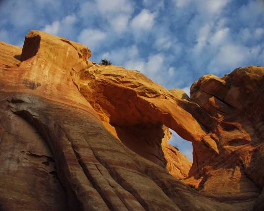
This Arch is in Mee Canyon. Do not try to hike to
this Arch without a companion and a GPS. The route
starts at the Knowles Canyon Trailhead. Go to the
Glade Park store (see Marble Canyon Arch (1) for
way to Glade Park). Go north on 16.50 Road for
a half mile and turn left onto BS.00 road. Follow this
Road for 11.6 miles to the Knowles Canyon Trailhead.
From the trailhead, hike until the single-track trail meets
the old DT 4wd Trail. Instead of following the sign
to Knowles Canyon (left) turn right instead. Hike NE
to the next main intersection of old 4wd roads at
N390433.55 W1085255.71. Turn left and hike to a
4wd road intersection at N390459.06 W1085332.63.
Turn right and hike to the end near a cow water
reservoir. At this point, head approximately north
across terrain to N390604.05 W1085337.95. Climb
down to the base of the Entrada sandstone and follow
the canyon rim left until you get to the Arch. This is
the most direct route to the base of the Arch. It is
possible to see it from the rim, but it is hard to find
and not very spectacular from that perspective.
This hike is about a 20 mile round trip and strenuous.
Directions and photo by Craig Shelley |
