|
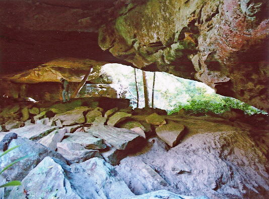
In northern Tennessee, drive north from East Jamestown on Rt. 154 about
one and a tenth miles. Hike east to the rim of Laurel Fork Creek. Look for
a way to descend into the Creek bottom. There is no trail and just one spot
around the overhanging rocks where one can descend. Once having
descended, the natural bridge is visible. This is a good sized natural bridge
with a span of 78 ft. Photo by Ray Millar |
