|
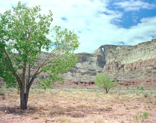
This Arch (also spelled "Hondoo" and also known as "Lariat") is in a large anticline called "The San Rafael Swell". Before the construction of I-70, there were no paved highways across this area-only a few gravel ranch roads. A gravel road goes south at I-70 Exit 129. This road leads to the Arch, but there are a number of places where a wrong turn can be taken. Geological Survey Map 38110-E1-TM-100, San Rafael Desert Utah 30X60 Minute Quadrangle shows this road and the location of the Arch (at Tomsich Butte) at the left edge of the map. This map also shows a route from Utah 24. See Hondu up close. |
