|
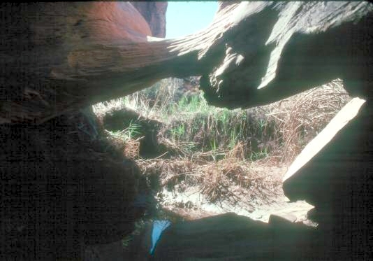
From Moab, drive north on Rt. 191 and turn left onto the Potash Mine Rd. (Rt.279). Drive about 10 miles and note the large parking area on the right for the Corona Arch Trailhead. Continue on Rt. 279 for another 0.2 miles and turn right onto a 4wd road which goes up to the railroad track. Drive the 4wd Rd. for 0.2 miles and park below the railroad track. A bench starts just above the culvert on the east side of the track. Follow this bench for about a mile to where it bends north. Leave it on the east and drop down onto the slickrock and work your way to the southeast for about a quarter mile to get back into Culvert Canyon. The Bridge is about a quarter mile from there, well-hidden by debris at the bottom of a vertical shaft in a large slickrock mass. The bridge has a 7 ft. span. UTM coordinates 12 619457E 4272642N (NAD 83/WGS84 datum).
Photo by Ted Dahlmann |
